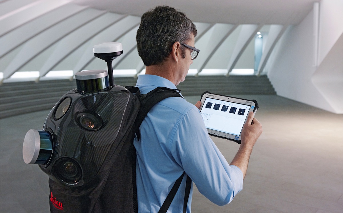
Leica Geosystems announced the industry’s first commercially available wearable reality-capture technology with the Pegasus:Backpack at HxGN LIVE.
Combining five high-dynamic cameras, which work in a variety of light conditions, and a LiDAR profiler with an ultra-light and ergonomic carbon fiber chassis, this mobile mapping solution creates a 3D view indoors or outdoors for engineering or professional documentation creation at the highest level of authority yet.
For BIM or simply for capturing 2D square foot updates to a large building, the Leica Pegasus:Backpack creates the most realistic view by capturing synchronized imagery and point cloud data. Accurate positioning is achieved in GNSS-restricted areas using Simultaneous Localization and Mapping, or SLAM, technology. Together with a high precision inertial measurement unit, the Leica Pegasus:Backpack is the first position-agnostic solution.
This new technology is designed to enable weekly data capture efficiently and cost effectively for changing building construction sites. For the first time, this enables the creation of a full starting document for authoritative 6D management of a building or simply to provide an authoritative hand-off dataset to a new building owner. By capturing weekly during a building’s construction, an “x-ray” view of the building is created. As the Backpack clearly logs position and time with the advanced measurement of LiDAR, change orders in the construction process can now offer a complete new level of authority for quality construction while scheduled milestones are achieved.
With full 360-spherical views and LiDAR together plus a hardware light sensor, all images are usable while other functions are verifiable and adjustable over the operator’s tablet device. The system uses multiple hot-swappable batteries, making even long captures possible.
“With the Leica Pegasus:Backpack, limited-access outdoor areas or underground infrastructures are no longer limited in professional data collection,” said Stuart Woods, Geospatial Solutions Division vice-president. “Users will never again forget any aspect of any job nor need to return to a project site. They can capture everything by simply arriving on site wearing the technology, capture and leave, rest assured they have everything they need to complete the job on time and on budget.”
Working with images and point clouds together, data is captured into a single platform and workflow – from the operator interface to a single-click post-processing to feature Meta tagging. Leveraging Leica’s Mapfactory extension, features can be extracted and datasets can be exported to CAD or BIM specific software solutions. More effective decision making is finally achieved with 3D spatial models that allow for true life cycle building planning, enabling 6D BIM.
Related Stories
BIM and Information Technology | Dec 21, 2015
Laser scanning and in-shop prefabrication a boon for the WellStar Paulding Hospital
Contractor Brasfield & Gorrie’s use of BIM and prefabrication on the Hiram, Ga., hospital shows how digital tools can lead to savings, safety, and better construction.
Sponsored | BIM and Information Technology | Dec 17, 2015
How is the Value of VDC for Design Management Translating Outside the US?
Sascha Vesterlund, a VDC Specialist, Design Processer with MT Højgaard, and Nathan Wood, Innovation at DPR Construction, shared their perspectives on VDC
BIM and Information Technology | Dec 3, 2015
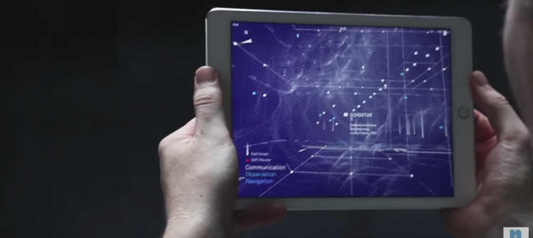
New app visualizes cellular and Wi-Fi signals in an area
Using data collected from millions of cell towers and Wi-Fi routers, the app makes the invisible visible.
BIM and Information Technology | Nov 30, 2015
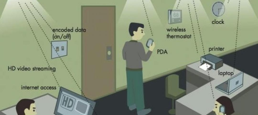
Light-based wireless technology is 100 times faster than Wi-Fi
Li-Fi, which reaches speeds of 224 gigabits per second, is being tested in Estonia.
Sponsored | BIM and Information Technology | Nov 25, 2015
Contractor leverages dynamic site logistic plan as BIM deliverable
I recently sat down with two Architects-Turned-VDC-Process-Managers to discuss the ways in which they are leveraging technology to bring the value of BIM downstream
BIM and Information Technology | Nov 24, 2015
Solving the data conundrum with better tools to capture, share, and analyze information
At a recent Thornton Tomasetti symposium, experts showed how designs and projects can be improved by granular information that’s accessible to more users.
Modular Building | Nov 19, 2015
AECOM and Project Frog form partnership for building modular data centers
The Rapid Deployment Team will provide solutions for data centers both small (1 MW) and large (50+ MW).
BIM and Information Technology | Nov 18, 2015
AIA: Energy modeling key to reaching carbon neutrality in buildings
Energy modeling allows architects to be more ambitious with energy-saving in their design projects.
Green | Nov 17, 2015
DOE launches new data collaborative to help cities and states boost building efficiency
The SEED Standard will help manage, standardize, share performance data.
Sponsored | BIM and Information Technology | Nov 12, 2015
Is the PDF revolution advancing BIM workflows?
Many project teams who struggle to get everyone up to speed with BIM, find PDFs a useful tool to bridge the gap between the BIM world and the paper world


