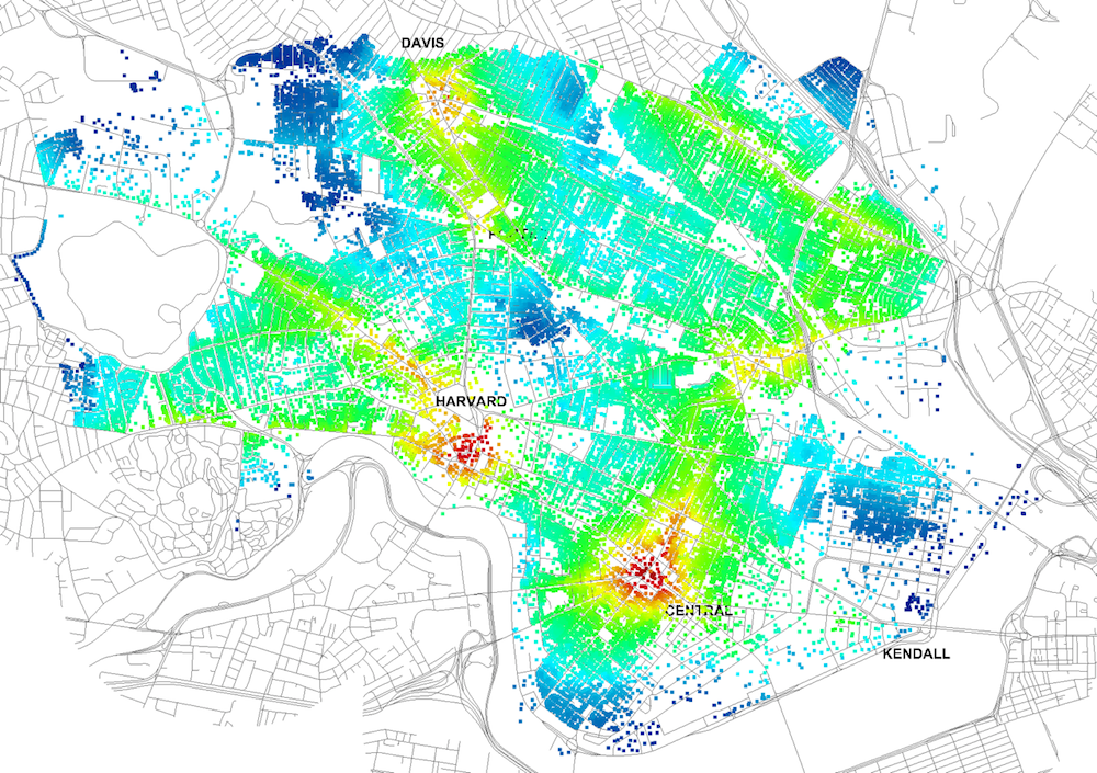
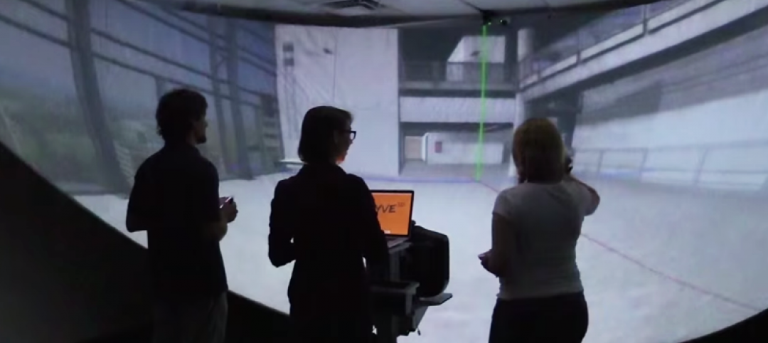
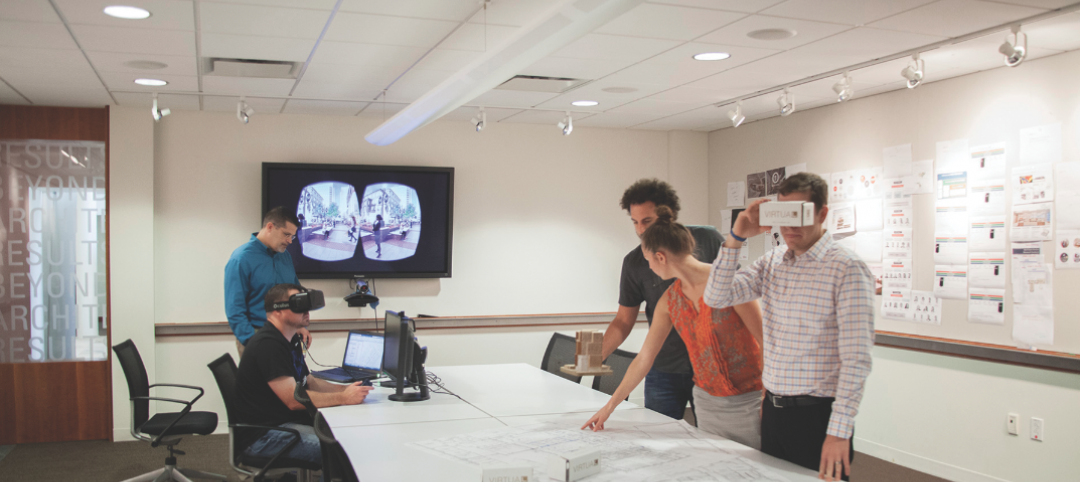
Four years ago, Massachusetts Institute of Technology’s City Form Lab launched Urban Network Analysis (UNA), a city-modeling software that facilitates a mathematical analysis of relationships among elements in a complex system, like a city. The unique feature of UNA is that it incorporates activities within buildings into its analysis.
This toolbox has been popular with planners and geographers, but it requires ArcGIS10 software with an ArcGIS Network Analysis Extension.
In April, City Form Lab expanded this software’s utility by introducing UNA for Rhino 3D, a modeling software for architects, engineers, and designers.
“Our toolbox helps planners and architects analyze these relationships and quantify how intensely different routes are likely to be utilized, how visible or connected public spaces are, or how conveniently one can get from one space to another,” says Andres Sevtsuk, the principal investigator at City Form Lab and developer of the UNA tool.
In layman’s terms, the software predicts where people are likely to go once they’ve decided upon an activity, like, say, going to an ATM machine or a park. The software provides users with some idea about which ATM or park that would be. As for movements to and within buildings, UNA takes into account employee head count, a building’s value, the surrounding population, and so forth.
This app’s toolbox also computes how urban design can affect—or even dictate—pedestrian movement. Sevtsuk notes, too, that the software can be scaled to account for the diversity of movement in different cities and towns.
Sevtsuk is encouraged by the sheer amount of spatial data available about urban areas, particularly in the U.S., where “you can go to any sizable city website and download data that is necessary to calibrate any of these models.” He’s confident that this software can be used to predict movement in public or semi-public spaces such as building lobbies or shopping centers.
Related Stories
BIM and Information Technology | Aug 27, 2015
Zebra Imaging launches 3D hologram creator for Autodesk Revit
Company promises new product will bring "easy creation process" to holographic imaging in AEC community.
Office Buildings | Aug 24, 2015
British company OpenDesk offers open-sourced office furniture
Offices can “download” their furniture to be made locally, anywhere.
Energy Efficiency | Aug 24, 2015
Google develops Google Maps for solar energy
The tool offers high-resolution aerial maps, like the one used in Google Earth, to estimate the total sunlight a rooftop receives throughout the year.
Sponsored | BIM and Information Technology | Aug 20, 2015
Part II - Will BIM Work as a Deliverable? A Legal Perspective on BIM
Having the right counsel on your team can be the difference between long drawn-out negotiations and breaking new ground to meet the owner’s needs.
BIM and Information Technology | Aug 17, 2015
Reimagined cursors can change digital imaging
A University of Montreal professor has developed a system that elevates 2D cursors for a 3D world.
BIM and Information Technology | Aug 6, 2015
After refueling its capital tank, WeWork acquires BIM consultant Case
The merger is expected to help standardize how WeWork designs and builds out office space.
Giants 400 | Aug 6, 2015
BIM GIANTS: Robotic reality capture, gaming systems, virtual reality—AEC Giants continue tech frenzy
Given their size, AEC Giants possess the resources and scale to research and test the bevy of software and hardware solutions on the market. Some have created internal innovation labs and fabrication shops to tinker with emerging technologies and create custom software tools. Others have formed R&D teams to test tech tools on the job site.
Smart Buildings | Aug 5, 2015
8 cities win Bloomberg's 'open data' award
The competition, called "What Works Cities," promotes innovation in city government by making the massive amounts of city operations data more publicly accessible to better improve issues like job creation, public health, and blight.
Multifamily Housing | Aug 5, 2015
FacadeRetrofit.org: A new database for tracking commercial and multifamily façade upgrades
The site allows users to submit information about new projects, or supplement information on those already posted.
BIM and Information Technology | Aug 4, 2015
Augmented reality app provides step-by-step help for repairing equipment
The developers of Remote AR have discovered a new application for AR technology that could apply to all types of industries, including commercial buildings.


