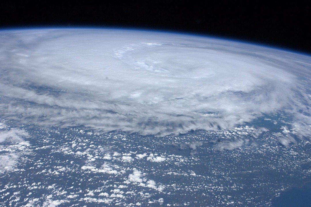
Deaths from flooding in New York City during Hurricane Ida illustrate flaws in FEMA’s flood maps, according to critics.
Eleven people that drowned in their basement apartments lived in areas marked as low risk for severe flooding. The storm produced record rainfall that inundated the city’s sewer system and caused widespread flooding.
House Oversight and Reform Chair Carolyn Maloney (D-N.Y.) said she checked the addresses of all the homes where the drownings occurred and found that they were all in areas marked as having a minimal flood hazard. A FEMA official responded, saying the agency’s flood maps show areas that are high risk of coastal inundation or river overflow, but do not address areas facing the type of flooding that Hurricane Ida caused in New York City.
FEMA’s special flood hazard areas are only located in city neighborhoods adjacent to water. FEMA maps determine which property owners are subject to a federal requirement to have flood insurance.
Related Stories
Codes and Standards | Feb 2, 2022
Public works contracting reform advances in New York State
Governor signs bill to form advisory council that will propose policy changes.
Codes and Standards | Feb 2, 2022
Commercial and multifamily construction starts rebounded in 2021
Following COVID uncertainty in 2020, the industry recovered, but still lags 2019 levels.
Codes and Standards | Feb 1, 2022
Biden Administration launches state, local coalition to boost building performance standards
Will focus on energy efficiency and electrification across the buildings sector.
Codes and Standards | Jan 26, 2022
Downtown digital twin to aid Las Vegas in setting policy priorities
Will be used to address energy use, emissions, traffic, parking, noise, and emergency management.
Codes and Standards | Jan 25, 2022
Modeling tool helps compare options for HVAC systems when little known about a building
Compares projected costs and energy usage for all HVAC systems and hot water consumption.
Codes and Standards | Jan 25, 2022
Critics slam proposed revamp of California’s solar net energy metering rate
Could make rooftop solar panels unaffordable for most customers.
Sponsored | Resiliency | Jan 24, 2022
Norshield Products Fortify Critical NYC Infrastructure
New York City has two very large buildings dedicated to answering the 911 calls of its five boroughs. With more than 11 million emergency calls annually, it makes perfect sense. The second of these buildings, the Public Safety Answering Center II (PSAC II) is located on a nine-acre parcel of land in the Bronx. It’s an imposing 450,000 square-foot structure—a 240-foot-wide by 240-foot-tall cube. The gleaming aluminum cube risesthe equivalent of 24 stories from behind a grassy berm, projecting the unlikely impression that it might actually be floating. Like most visually striking structures, the building has drawn as much scorn as it has admiration.
Sponsored | Resiliency | Jan 24, 2022
Blast Hazard Mitigation: Building Openings for Greater Safety and Security
Codes and Standards | Jan 24, 2022
N.Y. governor calls for ban on natural gas in new buildings
Action follows New York City’s ban.
Codes and Standards | Jan 19, 2022
EPA may expand product lineup that can earn WaterSense label
Would include systems that enhance water quality at the tap.


