

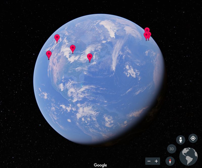
Google Earth recently relaunched with a host of new features to help people explore the world in even more detail without ever having to leave the air-conditioned comforts of their homes.
One of the most fascinating new features is known as Voyager and it allows people to “experience interactive stories from around the world.” Anyone can now take guided, interactive tours of famous cities, cultural landmarks, and lost civilizations. These tours have been curated by entities such as BBC Earth, DigitalGlobe, and The Ocean Agency.
Two tours, specifically, will be of interest to anyone with a passion for architecture: Frank Gehry Buildings and Architecture by Zaha Hadid.
Frank Gehry Buildings showcases eight of the architect’s designs from around the world such as the Vitra Design Museum in Weil am Rhein, Germany, Dancing House in Prague Czech Republic, and Museum of Pop Culture in Seattle Wash. Each building comes with a short blurb explaining the building’s main function.
 Frank Gehry's Dancing House. Courtesy Google Earth.
Architecture by Zaha Hadid features six of the late architect’s buildings such as the London Aquatics Center, the Bergisel Ski Jump in Innsbruch Austria, and Havenhuis in Antwerp, Belgium.
As one moves from building to building, the map zooms out, moves over the globe to the next landmark’s location, and then zooms back in. Once at the site, one is free to move around and zoom in and out as one pleases, or allow Google Earth to automatically pan slowly around the building. Building’s can be viewed in either 2D or 3D. Each building can be explored in Street View, as well.
Voyager allows people to view these often times very familiar structures in a more macro context. Instead of the professional pictures everyone has come to associate with a building like Gehry’s Walt Disney Concert Hall or Hadid’s MAXXI, people can now gain a better understanding of how the buildings fit into their site and the overall city.
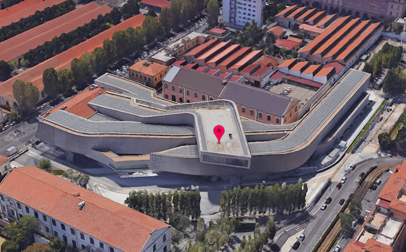 Zaha Hadid's MAXXI museum. Courtesy Google Earth.
Other current Voyager tours include Museums Around the World, Lost Civilizations from Above, Hemingway’s Hangouts, and Following Charles Dickens.
Related Stories

Architects | Jan 8, 2018
Catherine Selby joins Dattner Architects’ partners group
Selby joins Principals Paul Bauer AIA; Richard Dattner FAIA; Jeff Dugan AIA; Beth Greenberg AIA; Daniel Heuberger AIA, LEED AP; Kirsten Sibilia Assoc. AIA; William Stein FAIA; and John Woelfling AIA, LEED AP in leading the 115-person firm.

Big Data | Jan 5, 2018
In the age of data-driven design, has POE’s time finally come?
At a time when research- and data-based methods are playing a larger role in architecture, there remains a surprisingly scant amount of post-occupancy research. But that’s starting to change.

Multifamily Housing | Jan 4, 2018
Shigeru Ban’s mass timber tower in Vancouver gets city approval
The 232-foot-tall Terrace House luxury condo development will be the tallest hybrid wood structure in North America.

Architects | Jan 4, 2018
Integrated design for children and housing
Homelessness is an issue affecting millions around the globe.

Sponsored | | Jan 3, 2018
4 networking strategies to grow your business
Follow these networking strategies to grow your architectural business with the work that you want.

BD+C University Course | Jan 2, 2018
The art and science of rendering: Visualization that sells architecture [AIA course]
3D artist Ramy Hanna offers guidelines and tricks-of-the-trade to ensure that project artwork is a stunning depiction of the unbuilt space.
Green | Dec 22, 2017
Green builders can use ‘big data’ to make design decisions
More and more, green project teams are relying on publicly available “external datasets” to prioritize sustainable design decisions, says sustainability consultant Adele Houghton.
Reconstruction & Renovation | Dec 21, 2017
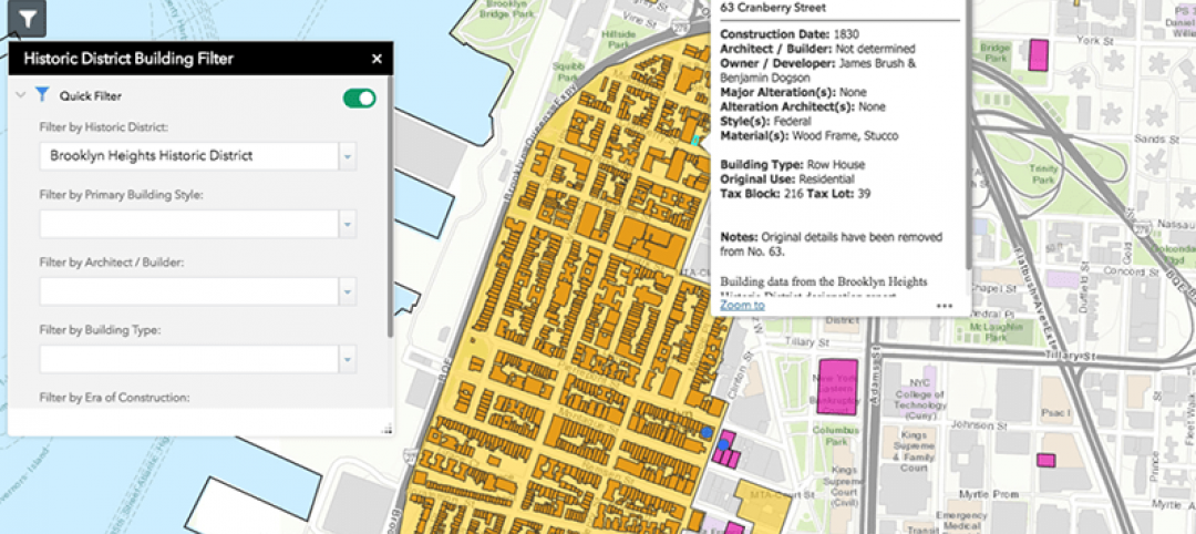
Interactive map includes detailed information on historic New York City buildings
The New York City Landmarks Preservation Commission launched a new, enhanced version of its interactive map, Discover NYC Landmarks.

High-rise Construction | Dec 20, 2017
Another record year for high-rise construction
More than 140 skyscrapers were completed across the globe this year, including 15 supertall towers.

Game Changers | Dec 20, 2017
Urban farms can help plant seeds for cities’ growth around them
Urban farms have been impacting cities’ agribusiness—and, on some cases, their redevelopment—for decades.


