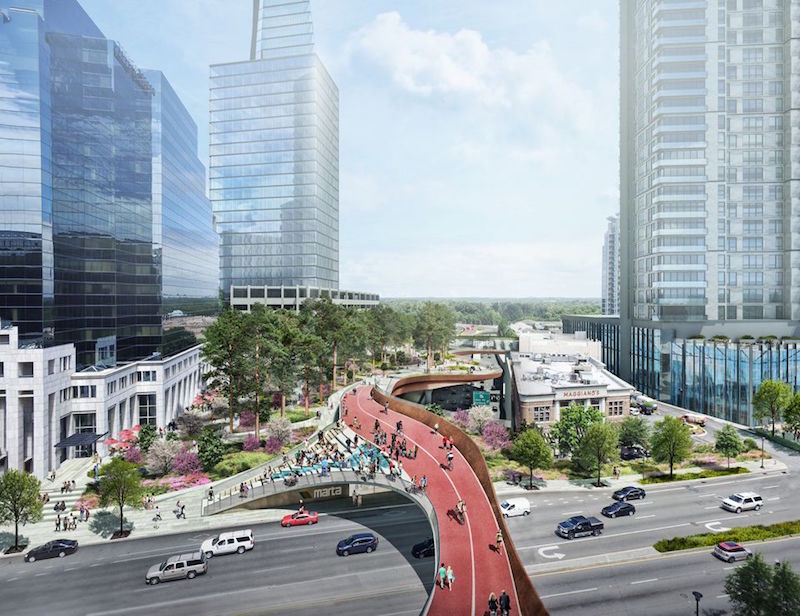
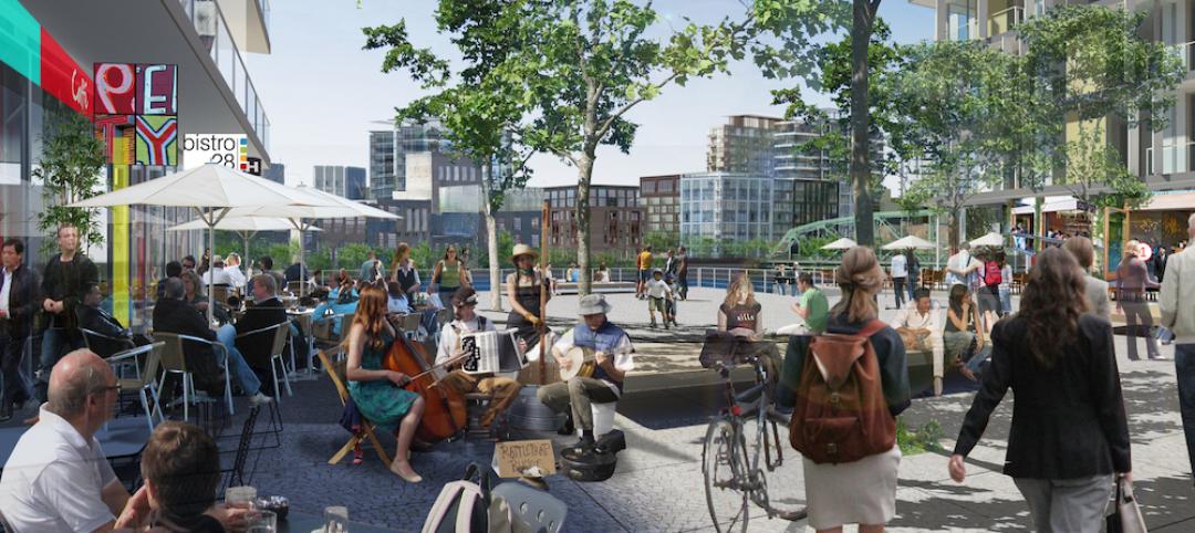
Early next month, the Buckhead Community Improvement District (BCID) is scheduled to meet about how to move forward with its plan for a half-mile-long urban park that would be built over a busy highway and MARTA rail line that currently bifurcate this affluent Atlanta neighborhood.
BCID, a group of businesses that tax themselves for infrastructure projects, unveiled the initial design concept for Buckhead Park Over GA400 (for Georgia State Route 400) at the Buckhead Theater on September 7. The overhead park would stretch 2,400 feet from the Atlanta Financial District on Peachtree Road to the Lenox Road-GA 400 interchange. It would also connect with the PATH 400, a regional recreational and commuter bike path and running trail.
Another group, called Central Atlanta Progress, last month proposed a similar, more ambitious deck proposal that would cap the city’s Downtown Connector—known as “The Stitch”—from Spring Street to an area near Georgia Power’s headquarters, according to the Atlanta Journal-Constitution.
While a recent poll found strong support for the bigger project, it would cost an estimated $300 million, whereas backers of Buckhead Park Over GA400 have pegged the price tag for realizing their concept at a bit above $150 million.
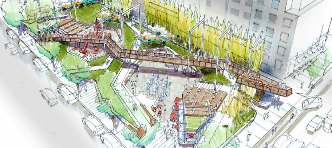
Buckhead Park Over GA400, which was designed by Rogers Partners Architects + Urban Designers with Nelson Byrd Woltz Landscape Architects, would have three components:
•The Commons, at the north end of the park, would include an intimate amphitheater for formal and casual gatherings.
•The Plaza, at the midpoint of the park, would provide access to surrounding retail, restaurants, and the rail line.
•The Gardens, as its name implies, would be dominated by a garden setting, and provide a green oasis for visitors. The park itself would be unified by shade trees that run the length of the concept.
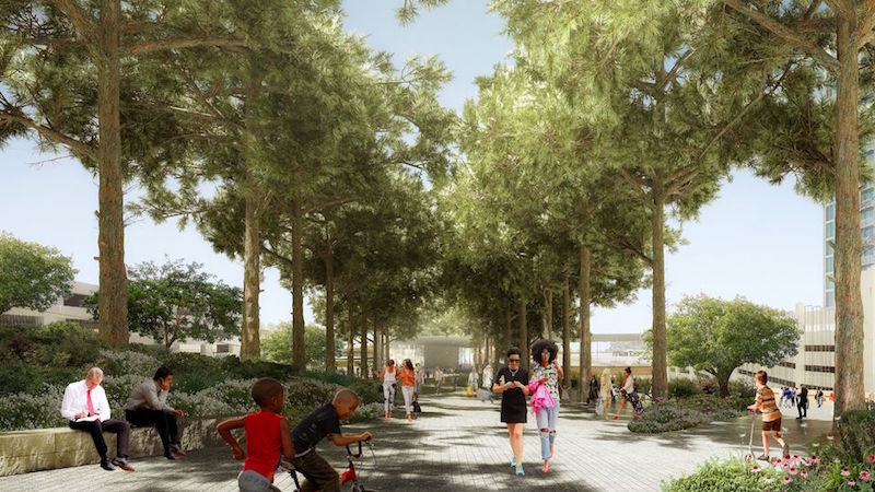
An allee of shade trees would run the length of the park, whose southern end would offer a garden setting. Image: Rogers Partners Architects + Urban Designers/Nelson Byrd Woltz Landscape Architects.
Buckhead Park would have extensive pedestrian paths that connect to surrounding streets, encouraging people to use it as a thoroughfare to reach workplaces, their homes, or cultural attractions.
“This park will create quality public space where you already have density,” explained Rob Rogers, principal at Rogers Partners. “Like most great public places, it’s about creating a series of scaled experiences for visitors.”
Buckhead Park would be the latest in a series of elevated urban parks that have made their marks in cities such as New York, Paris, and Dallas. BCID is positioning Buckhead Park not only as a counterbalance to Atlanta’s car-heavy culture, but also as a potential boon to local businesses for which the park would generate more foot traffic.
“We are very excited to move ahead on this pioneering project,” says Jim Durrett, BCID’s Executive Director. “When Buckhead Park Over GA400 is complete, Atlanta will have a unique, world-class civic space that is both beautiful and functional.”
Before it meets next month, BCID will review community feedback about the project. Its next stage would be preliminary engineering, engaging key agency partners, and coming up with a funding strategy.
Related Stories
Urban Planning | Jul 13, 2016
'Shore to Core' competitions envision future waterfront cities
Design and research teams will use West Palm Beach, Fla., as their model.
Urban Planning | Jul 7, 2016
Y Combinator project would build new city using new technology, urban policies
Zoning, property rights, building codes all could be re-imagined.
Urban Planning | Jun 15, 2016
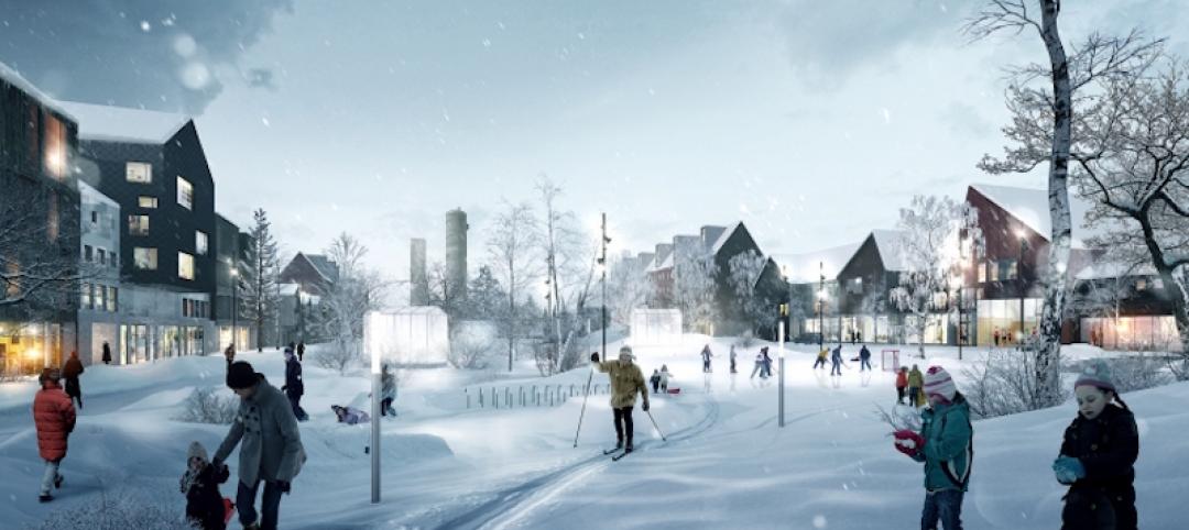
Swedish ‘Timber Town’ proposal from C.F. Møller provides a unique blend of nature and city
The development acts as a transition area between a traditional urban landscape and parklands.
Movers+Shapers | Jun 10, 2016
URBAN EVANGELIST: Bruce Katz sees America humming again, city by city
Katz, best known as Co-director of the Brookings Institution's Metropolitan Policy program, believes that cities are dynamic networks of like-minded public and private interests that have the potential to generate economic growth.
Urban Planning | Jun 9, 2016
Triptyque Architecture designs air-cleansing hanging highway garden in São Paulo
The garden would filter as much as 20% of CO2 emissions while also providing a place for cultural events and community activities.
Urban Planning | May 31, 2016
Vancouver park board approves final design for urban park
The green space is intended to be a recreation area for a busy part of downtown.
Urban Planning | May 31, 2016
The entire Swedish city of Kiruna is being relocated to prevent it from collapsing into underground iron mines
Kiruna, the northernmost city in Sweden, and its 20,000 residents will be moved two miles to the east by 2040.
Urban Planning | May 23, 2016
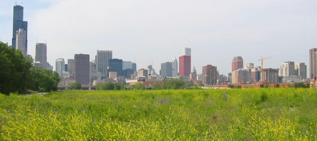
Developer acquires 62 acres of vacant land in Chicago
Related Midwest will turn the strip that connects the South Loop to Chinatown into a neighborhood with homes, stores, and offices.
Urban Planning | May 20, 2016
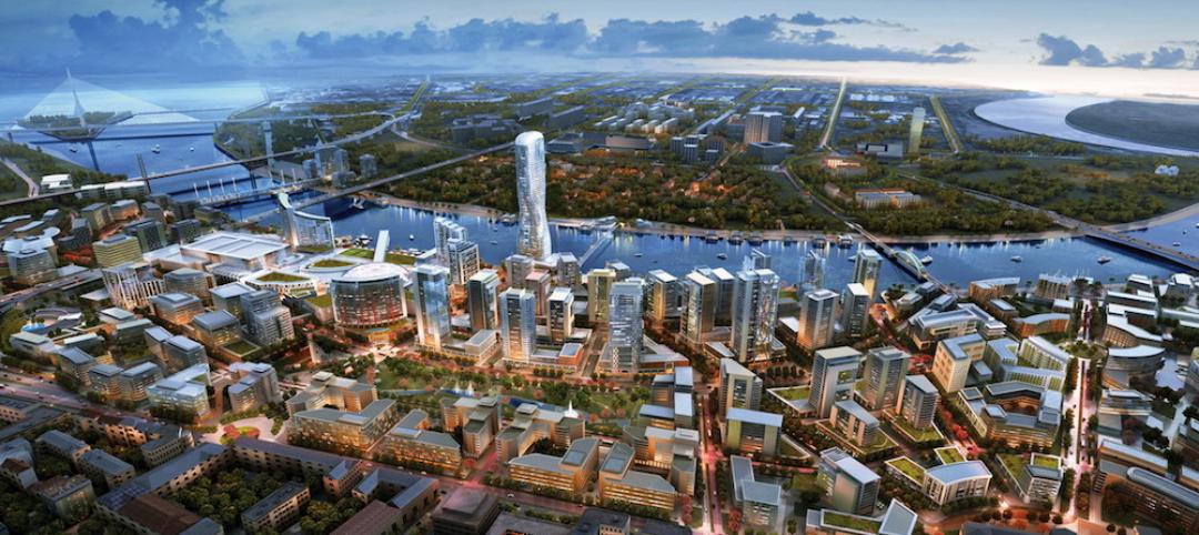
Why people are the most important factor in urban regeneration
What makes large-scale urban regeneration projects successful? CallisonRTKL's Edgar Kiviet explores how cities, particularly those in Eastern Europe, are undergoing a transformation.
Urban Planning | May 16, 2016
5 steps to creating high-performance communities
Perkins+Will's Noah Friedman and Kristen Hall break down the essential ingredients to create a neighborhood that's accessible, comfortable, and vibrant.


