Extended reality (XR) is in a unique phase of its life cycle. The technology is readily available for anyone and everyone who thinks they can do something with it. And for better or worse, it is anyone and everyone who thinks they can do something with it.
New applications for AR and VR are more ubiquitous than superhero movies. Unfortunately, they are just as vapid. The trick with XR is to shift it from novelty to necessity, and the AEC industry has proven to be the one that offers the best opportunity to do exactly that.
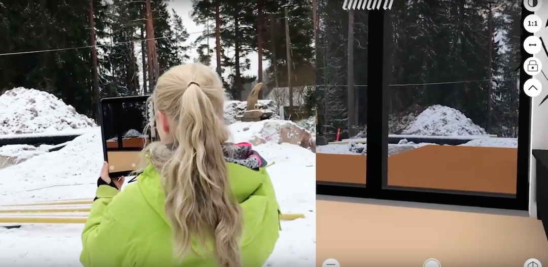
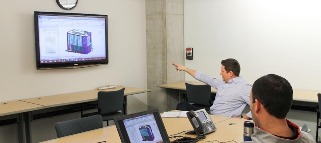
The AEC industry has already done a good job at helping XR claw its way out of the novelty category. Recent developments like Umbra’s new BIM-to-AR technology are a big reason why. This innovation uses Umbra’s cloud-based technology—adapted from the company’s tools for the photorealistic video game industry—to take 3D data of any size and optimize it so that it can be delivered and rendered on mobile devices.
The technology, called Umbra Composit, can be used with common design tools such as Revit, Navisworks, and ArchiCAD to upload 3D BIM models directly to the company’s cloud platform. From there, Umbra automates the process of optimization and prepares the BIM model to be shared with anyone on XR platforms.
See Also: Virtual Reality: How three firms are using VR technology
“With a single button click, Umbra does all the heavy lifting so designers can share huge, complex models with anyone, anywhere,” says Shawn Adamek, Umbra’s Chief Strategy Officer. “Never before have people had access to view complete, full-resolution BIM models in AR on untethered mobile devices.”
Once the model has been optimized in the cloud, users can log into their Web-based account, where they can view the model in the browser, send it to their mobile device, or share it with others.
A big part of what makes this technology so helpful to end users is the fact that it is compatible with mobile devices like iPads and smartphones. AR-specific devices, such as the Microsoft HoloLens, are still relatively rare among even the largest architecture and construction firms. Expanding the point of entry by making common mobile devices compatible with the technology increases the number of users who can benefit from BIM-to-AR applications, while also advancing the rate at which the technology evolves and improves.
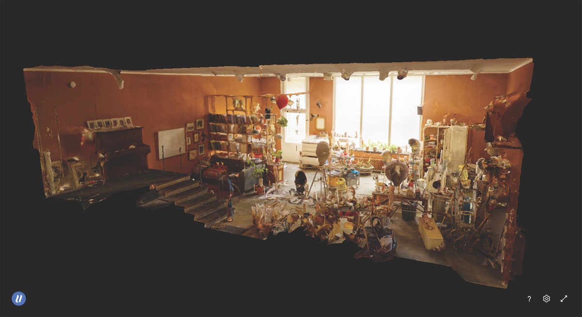 This 3D scan of artist Tommi Toija’s studio in Helsinki demonstrates the detail and fluidity of extended reality technology from Umbra. The scan was reconstructed from 2,500 photos. Courtesy Varjo echnologies/Umbra.
BIM to AR in the field
Sellen Construction sees the potential BIM to AR provides. The firm’s earliest use cases were small-scale, virtual mock-ups. The first successful pilot came in 2017, when Sellen took a group of ironworkers who were going to install heavy structural steel in a confined elevator shaft to the jobsite and used Microsoft’s HoloLens to project the BIM model into the actual location. It only took 15 minutes before the crew had a safe plan for how to execute the job.
“It was clear construction field teams needed live-scale experiences to communicate the feeling of scale and to be able to use virtual content in real-world situations,” says Salla Palos, Emerging Technology and Innovation Director, Sellen Construction. “BIM-based extended reality technologies minimize the need for re-work because fit, assemblies, scale, and finishes can be verified and communicated between all stakeholders in real-time on the actual jobsite.”
As with any emerging technology, there are aspects that need to be smoothed over before it can begin to accelerate at an exponential rate. “AR on site will benefit from more accurate sensors in the hardware of the viewing devices,” says Adamek. “These are improving with each new product version, but can still have a tough time tracking a user’s exact position as they move around within a virtual model.”
If a user is moving around, especially throughout a larger model, they may experience “model drift,” meaning the AR model will not overlay as precisely onto the real world as it should. More accurate sensors will allow the AR device to rectify this on the fly, stay properly overlaid, and provide a better and more accurate overall experience.
Another hurdle BIM to AR faces is not so much about the technology itself, but the users. The AEC industry typically lags behind other industries in adopting the most recent technology. Smaller firms often do not have the means or the desire to upset the status quo. But in order for this technology to advance, AEC firms need to push all their chips to the center of the table. Fortunately, Palos sees a simple solution to this problem.
“The best tip to integrate BIM to AR into a project as seamlessly as possible is to let people use the tools themselves and become inspired by how easy it is,” says Palos.
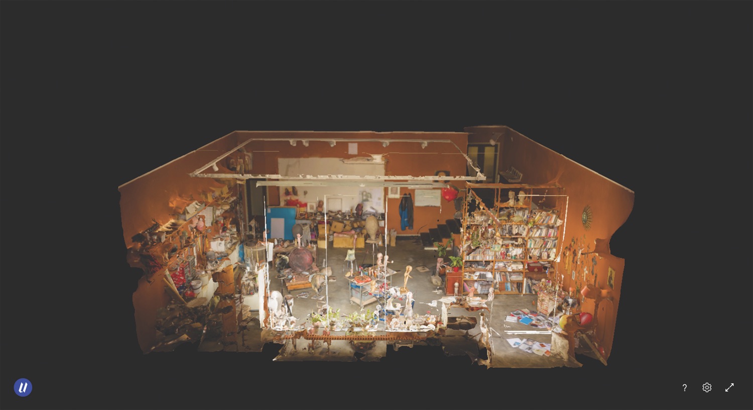 Courtesy Varjo echnologies/Umbra.
The true potential of BIM to AR
“The vision of the AR cloud will come to fruition in the next five to seven years,” says Adamek. “A virtual copy of everything on earth, including buildings, will be scanned and converted into 3D. All of this 3D will make up an entire, new virtual world that will be available for billions of users to step into via their persistent mobile connections.”
Adamek adds: This would give the AEC industry a digital AR view of the world and all of its 3D data in the future. It would allow BIM to manifest itself in the format of a database and provide the end user access to the latest information so they can comprehend and perform their jobs safely and efficiently.
Related Stories
Building Tech | Apr 12, 2016
Should we be worried about a tech slowdown?
Is the U.S. in an innovative funk, or is this just the calm before the storm?
BIM and Information Technology | Apr 8, 2016
Turner streamlines construction progress tracking using predictive visual data analytics
The construction giant teams with a computer science and engineering professor to develop a clever drone- and rover-based construction monitoring tool.
BIM and Information Technology | Apr 5, 2016
Interactive 3D map shows present and future Miami skyline
The Downtown Miami Interactive 3-D Skyline Map lets users see the status of every downtown office, retail, residential, and hotel project.
AEC Tech | Mar 31, 2016
Deep Learning + AI: How machines are becoming master problem solvers
Besides revolutionary changes to the world’s workforce, artificial intelligence could have a profound impact on the built environment and the AEC industry.
Big Data | Mar 28, 2016
Predictive analytics: How design firms can benefit from using data to find patterns, trends, and relationships
Branden Collingsworth, HDR’s new Director of Predictive Analytics, clarifies what his team does and how architecture projects can benefit from predictive analytics.
BIM and Information Technology | Mar 21, 2016
Latest tech devices simplify the leap from BIM to virtual reality
Faster conversion times and higher-quality graphics are enabling VR to make the jump from novelty to necessity in the AEC world.
AEC Tech | Mar 15, 2016
Two to tango: Project Tango isn’t just for entertainment, it also has a wide range of possibilities relating to the professional world
Making things like augmented reality, precise measurements of indoor spaces, and indoor wayfinding possible, Google’s Project Tango has all the makings to become a useful and ubiquitous tool in the AEC market.
BIM and Information Technology | Mar 14, 2016
Visual estimating, generative design, and component construction push the limits of BIM/VDC
DPR Construction, JE Dunn, and The Living advance the AEC industry with three clever tech solutions.
Drones | Mar 9, 2016
A new image-capturing platform mediates drone and cloud technologies
3DRobotics, Autodesk, and Sony launch Site Scan to speed the process of making models from field data.
BIM and Information Technology | Mar 2, 2016
Thanks to MIT researchers, Boston now has its very own citywide building energy model
The most detailed model ever for a city this size will help Boston meet its long-term energy use goals.


