The buzzword may be “Big Data,” but the reality is that Building Teams need to burrow deep into those huge datasets in the course of designing and building new facilities. Much of the information is free. You just need to dig for it.
Architecture, engineering, and construction firms can lead the way in helping clients make use of new, broad access to high-value information—whether your client is a university, a commercial developer, a regional health provider, or a municipal or regional planning department. Building Teams can deploy deep data analysis to help clients produce better projects faster, save money, or be first to plant their flag in a geographical market.
Designers and urban planners can benefit significantly from the analysis of personal location data, says Randy Deutsch, AIA, LEED AP, Associate Professor at the University of Illinois at Urbana-Champaign and author of the forthcoming "Data-Driven Design and Construction: 25 Strategies for Capturing, Analyzing and Applying Building Data." He points to decisions related to infrastructure, highway design, and mass-transit construction—all of which could affect your building project—that can be improved by analyzing such data.
Underlying these new opportunities are changes in how datasets are being collected and made available. “Open data systems,” a tech-sector term that has migrated to the real estate world, can give your team access to all the information you need for a project investment before, during, and after the project phase.
“In real estate there are tremendous amounts of information,” according to Jake Seid, President of Auction.com, who addressed the Urban Land Institute in New York last October. “By creating an open, transparent marketplace for real estate and leveling the playing field by using data, actually sellers win, buyers win, brokers win. It’s a net positive for everybody who participates in the transaction.”
Seid cites RealMassive (www.realmassive.com), an online marketplace for commercial real estate, as an example of private-sector organizations that are providing deep data. The public sector is also opening up its data, says Chris Palmisano, Senior Account Manager at Google. State agencies increasingly allow access to their systems so that the public and businesses can see who gets building permits and design/construction contracts, why they’ve been awarded, and the performance criteria used to measure them.
START MINING THE DATABELTS
There’s a national trend toward collecting and sharing richer and richer datasets on communities, cities, and localities. The broader strategy is aimed at making cities, towns, and suburbs better for the general population; the more specific tactic is to identify underserved neighborhoods and population groups so that policymakers can steer services and opportunities their way—for example, by providing new transit routes to places with growing commuter demand.
Zoning and planning decisions, as well as private-sector developer initiatives, can benefit greatly from more granular data at the neighborhood and county level. Recently, the think tank City Observatory showed that post-recession job growth in 21 downtown city centers far outpaced rates in peripheral suburban areas from 2007 to 2011.
 Skybox Imaging’s first satellite launched from the Yasny launch site in Russia last November. “We talked to folks who used satellite-based data,” says Dan Berkenstock, Skybox’s EVP/Chief Product Officer. “What we came across was a hunger to move commercial Earth observation and remote sensing beyond mapping to subscription analytics and data streams.” Building Teams are using this kind of “deep data” to meet client needs, produce better projects faster, save money, and help clients lead the way in a specific geographical location or market sector.
“This is reversing a decades-long trend of job opportunities expanding in suburbs while they stagnated in city centers,” says Mark Abraham, Executive Director of DataHaven, a nonprofit research group that is conducting a statewide survey of 15,000 people in Connecticut to determine the status of their health and wellness. “Peripheral areas and many smaller towns have lost large numbers of jobs since 2007.”
The findings are already reshaping building project starts and the use permits being filed. This kind of big data collection is also driving policymaking at the local and state government level and helping apportion federal grants more equitably. Healthcare providers have seized on the figures to make the case for renovating or building facilities. Some regional hospitals are using the data to lobby for certificates of need for more new beds. Public agencies are using the findings to help locate and size new schools, senior centers, and motor vehicle department offices.
City Observatory did note that city centers in a half-dozen metros (notably Houston, Kansas City, Mo., and Las Vegas) declined in the 2007–2011 period, which reinforces the need to be careful how you use the data. Abraham also warns that some states are setting policy based on stale data (particularly U.S. Census data) that erroneously anticipated continued job growth in the suburbs. Again, caution is advised.
MEET THE CRUNCH-THE-NUMBERS GANG
The real connoisseurs of deep data are in the private sector: franchise operators, major banks, and national retailers like Petco and Starbucks who closely analyze statistics to determine where and when to build or renovate their outlets. They do what project planners from Wendy’s did when they studied consumer behavior in Land O’ Lakes, Fla., to gauge the average fast-food diner’s preferred drive time. They get deep data by subscribing to location-analytics products like Esri’s ArcGIS Online (www.esri.com/software/arcgis/arcgisonline) to visualize the market potential and risks of specific store locations.
Capital projects planning benefits from much more sophisticated use of the available data. Architecture giant Perkins+Will uses deep data number crunching as a first step in portfolio planning to develop occupancy scenarios, address consolidations and reorganizations, and provide optimization strategies. Studying large datasets about telecommuting and workflows shapes the firm’s workplace utilization studies. The data analysis enables P+W to recommend workplace solutions where less than one desk or workstation is available per client employee, dramatically reducing the client’s square-footage needs.
HEALTHCARE ORGANIZATIONS JUMP ON THE DEEP DATA BANDWAGON
City planners, land developers, and retail chains have long used geomapping to analyze and visualize data sets. Now healthcare providers are becoming devotees of deep data for more effective facility forecasting and master planning. “Healthcare providers can use a combination of public health and demographic data to predict patient needs today and in the future,” says Morris A. Stein, FAIA, FACHA, a Principal and Senior Vice President with HKS Inc., writing in Health Facilities Management with HKS’s Yogesh Patil, LEED AP. For healthcare facility planning, geomapping can be combined with other data sets from public health records and accountable care organizations (the entities that coordinate healthcare delivery under Medicare). Stein says that using deep data in the owner’s location analysis puts the emphasis on patient behaviors and population health trends, rather than simply looking at what properties are available.
Sutter Medical Group of the Redwoods uses a data mapping and visualization tool to “synthesize needs and constraints into a compelling design and decision-making platform,” says Peter Valenzuela, MD, the physician group’s Chief Medical Officer. Design giant NBBJ helped the group prepare its 20-year ambulatory care master plan by linking the mapping/visualization tool to an interactive facility inventory database.
The medical group and NBBJ used the data to analyze the medical group’s competition and market share alongside demographic and consumer behavior projections, including patient travel times and available transit. The result: seven new facility sites for its San Francisco district were identified.
Using population health data can also add immense value to healthcare facility design. Adele Houghton, AIA, MPH, LEED AP, President of Biositu, has shown how community health assessments, which are required of all nonprofit hospitals under the Affordable Care Act, can be a rich font of deep health data that can lead to even smarter healthcare project development. (See Houghton’s “Debunking the 5 Myths of Health Data and Sustainable Design,” at: www.BDCnetwork.com/5Myths.)
Houghton says a site’s baseline health profile can be effectively leveraged to develop data-driven justifications for medical facility planning and design decisions. Using a health impact assessment to make evidence-based design decisions for a medical site in San Diego, Houghton showed how to develop a baseline health profile of the patient shed using existing datasets, notably community health assessments.
So, are you ready to immerse yourself in deep data for your next project?
Is your firm data-enabled, data-driven, or data-informed?
Most AEC firms look at data in one of three ways, says Randy Deutsch, AIA, LEED AP, who interviewed more than 40 design and construction industry experts for his forthcoming book, Data-Driven Design and Construction: 25 Strategies for Capturing, Analyzing and Applying Building Data.
“Data-enabled” firms know the data’s out there but are not doing much with it. “Data-driven” firms are heavily into data, plugging thousands of parameters into algorithms in order to create optimal schemes. “Data-informed” firms use data to help make decisions, but not exclusively. “They want the client to know, ‘You may think you’re in a self-driving car, but we’ve always got one hand on the wheel,’” he says.
One of the counterintuitive findings of his research, says Deutsch, Associate Professor in the School of Architecture at the University of Illinois at Urbana-Champaign, is that “the more data driven a firm is, the more they talked about using intuition” to inform design decisions.
Deutsch says data can be a powerful weapon in creating strong alliances with clients. “Say you have 13 teams responding to an RFP for an office addition,” he says. “Twelve of them do the usual thing and come in with a design. Fine. The 13th says to the owner, ‘Based on your data, you don’t need a new addition for another three years. You just need to shift a few people around and make some scheduling changes.’”
Providing that kind of advice makes your firm the client’s trusted adviser, as opposed to being seen as a commodity vendor, says Deutsch.
Using satellite images on your next project
Building Teams, along with developers, real estate speculators, property owners, civil engineers, and landscape architects, are starting to use satellite data and imagery to add value to building projects. This follows almost two decades of using global positioning system data to boost efficiencies in project planning and construction—for example, providing contractors with accurate data on how much fill material and gravel will be needed for site preparation.
New satellite operators like Skybox Imaging, which was acquired by Google last year for about $500 million, are looking to add more capacity to what’s available from satellite imagery. Skybox can send building project planners and transportation agencies real-time images of a specific location twice a day at a fraction of the current cost. Drugstore chains, banks, and franchise restaurants are buying into the technology.
Satellite snapshots can also provide data on energy use, water levels, traffic movement, oil reserves, surface parking, green space, and light pollution levels. Near-infrared images can be used to assess the health of forests, crops, even putting greens, says Niko Milonopoulos, Skybox’s Data Analyst. Economic activity can even be measured by satellite observation of nighttime lights.
Related Stories
BIM and Information Technology | Mar 11, 2015
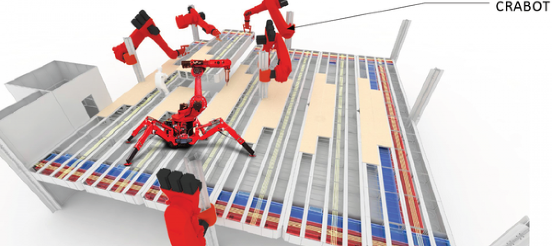
Google plans to use robots, cranes to manipulate modular offices at its new HQ
Its visions of “crabots” accentuate the search-engine giant’s recent fascination with robotics and automation.
Museums | Mar 5, 2015
A giant, silver loop in Dubai will house the Museum of the Future
The Sheikh of Dubai hopes the $136 million museum will serve as an incubator for ideas and real designs—a global destination for inventors and entrepreneurs.
BIM and Information Technology | Mar 4, 2015
Why China's CCTV building needed a WiFi retrofit
It took a year-long retrofit to get WiFi transmission issues solved at China's iconic skyscraper.
Energy Efficiency | Mar 4, 2015
DOE launches crowdsourcing website for technology innovators
The Oak Ridge National Laboratory launched a new crowdsourcing website called the Buildings Crowdsoucing Community to collect and share ideas by innovators for energy-efficient technologies to use in homes and buildings.
Sponsored | BIM and Information Technology | Mar 3, 2015
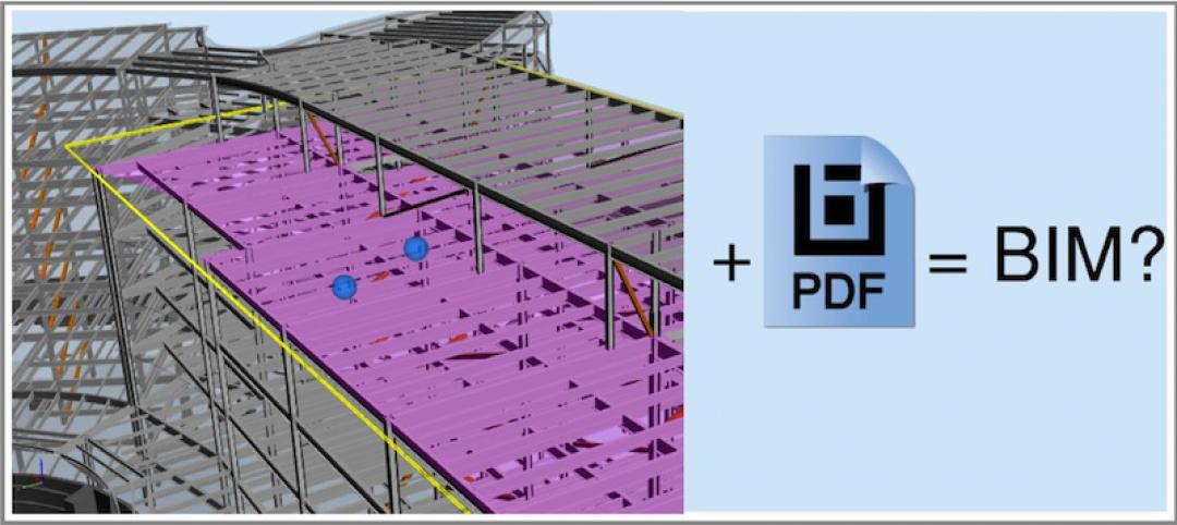
The great debate: Is 3D PDF really BIM?
You can pull apart buildings, cut through floors, and view simulated animation for assembly instructions all within a PDF.
BIM and Information Technology | Feb 23, 2015
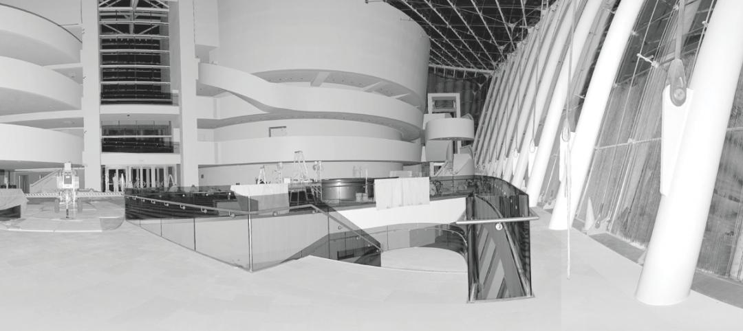
9 best practices for effective laser scanning
JE Dunn’s National BIM Director, Trent Nichols, offers tips and advice for mastering the art of laser scanning.
BIM and Information Technology | Feb 10, 2015
Google's 3D scanning camera leaves the lab
Google is said to be partnering with LG to create a version of the technology for public release sometime this year.
BIM and Information Technology | Feb 8, 2015
BIM for safety: How to use BIM/VDC tools to prevent injuries on the job site
Gilbane, Southland Industries, Tocci, and Turner are among the firms to incorporate advanced 4D BIM safety assessment and planning on projects.
Architects | Feb 5, 2015
Toy around with Ittyblox's ultra-detailed building blocks
For Lego fanatics, time is no object when building a model. For those of us with a little less time, Ittyblox is a good solution.


