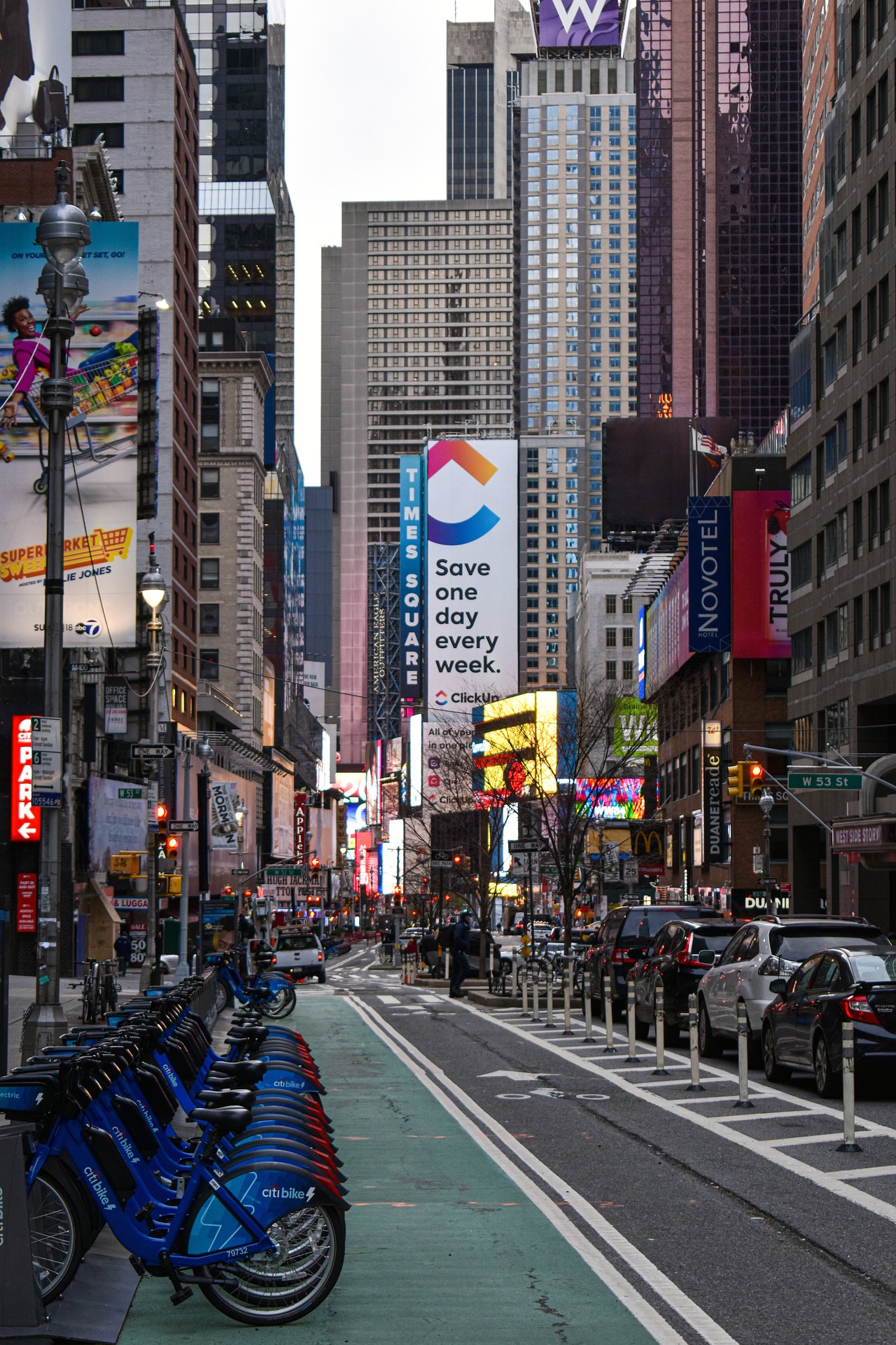
In 2023, New York City recorded its safest year for pedestrians since record-keeping began in 1910. In a city of 8.5 million people, 101 deaths were due to vehicles striking pedestrians, less than one-third the number of the early 1990s.
New York City ramped up its efforts to make walking and biking safer in 2014 when the city reduced its speed limit to 25 miles per hour. It also launched a speed camera enforcement program and started campaigns to educate drivers and pedestrians.
In recent years, the city has redesigned dangerous intersections—1,500 such projects last year alone—using various strategies. These include:
- Implemented leading pedestrian intervals (LPIs) that lengthen red light intervals for a few seconds so pedestrians can get a head start
- Constructed raised crosswalks that slow cars and improve visibility
- Created more daylighting that removes parked cars near crosswalks to improve visibility
- Installed turn bumps, strips of high-visibility black-and-yellow plastic that prompt drivers to wait to turn instead of jutting out in front of pedestrians crossing the street
Smaller-scale safety fixes such as these don’t require outreach to local community boards or comprehensive studies. Other measures such as adding bike lanes or bus-only lanes that remove parking spaces are more contentious.
The city has more to do to make streets safer, though. Total traffic fatalities remain high, with drivers dying in crashes at greater rates than in past years. Experts attribute higher traffic fatalities to a spike in dangerous speeding and bigger vehicles.
In addition, fatal crashes involving cyclists are at a 23-year high. The rising number of electric bikes has been cited as a factor in cycle accidents mostly in vehicle collisions on roadways that lack bike lanes. The city has extended bike infrastructure in recent years, but just 3% of its streets currently have protected bike lanes.
Related Stories
Urban Planning | Mar 14, 2017
Denmark-based architecture firm gives China the world’s longest elevated bike path
The Xiamen Bicycle Skyway stretches for 7.6 kilometers throughout the central part of the city.
Urban Planning | Feb 9, 2017
Abandoned WWII-era military village to become 'commune for the 21st century'
The village in Heidelberg, Germany, which 16,000 Americans called home at one time, is being redesigned as a commune for up to 4,000 people.
Green | Feb 6, 2017
A to Z: Seoul’s elevated park features 24,000 alphabetized plants
The plants will represent 250 species found in South Korea.
Urban Planning | Jan 17, 2017
Using 'hidden data' to probe urban problems
The Center for Neighborhood Technology has been tackling poverty, housing, transportation, and environmental issues for four decades.
Architects | Nov 11, 2016
Six finalists selected for London’s Illuminated River competition
The competition is searching for the best design for lighting the bridges of central London.
Building Tech | Nov 9, 2016
Dubai to Abu Dhabi in 12 minutes: A hyperloop from Hyperloop One and BIG could make it possible
The pods can reach speeds of up to 1,100 kilometers per hour.
Urban Planning | Nov 4, 2016
Rail Park breaks ground in Philadelphia
The project is finally moving forward after nine years in the making.
Urban Planning | Oct 27, 2016
Paris plans to transform the right bank of the river Seine into car-free pedestrian zone
Drivers are worried the move will cause an increase in traffic congestion.
Urban Planning | Oct 27, 2016
The lawsuit blocking the construction of Pier 55 has been thrown out
Construction on the $130 million project can now proceed as planned.
Urban Planning | Oct 20, 2016
Despite troubled development, Masdar City forges ahead
The detailed master plan for Phase 2 of Masdar City has been unveiled by CBT.


