DPR Construction tries to resist being driven by the technology of the moment, says Chris Torres, the firm’s Technology Integration Manager.
But there are times, he admits, when attention must be paid. That happened last November, when Torres got his first glimpse of Indoor Reality, a backpack with a built-in laser scanner that its creators claim can scan 200,000 sf in just eight hours—roughly 30 times faster than stationary scanners.
The product—one of several similar backpacks on the market—goes wherever the user roams, using cellphone-based indoor GPS as its guide. The manufacturer claims the unit can help project teams generate Revit models three times faster than traditional point cloud methods.
Indoor Reality’s $100,000 price tag might be prohibitive for some AEC firms, but Torres says the supplier also showed a hand-held version that goes for around $15,000.
The reality capture world is replete with new products; so many, in fact, that it’s a wonder buyers can keep up with the releases. Here are a few new products and platforms that caught our eye:
- RTK and PPK. These are acronyms for real-time kinematic and post-processing kinematic GPS sensors. They are part of systems that provide accurate camera locations when using drones for mapping. They reduce the need for surveyed ground control to produce accurate digital terrain models and orthophotos from photogrammetry. PPK doesn’t require a radio link. Accuracies of 25 mm (XY coordinate) and 50 mm (Z coordinate) are achievable.
- A host of hand-held laser scanners has been making its way onto the market. One that’s been getting attention from AEC experts is Leico Geosystems’ BLK 360 scanner. Size: 6.5 inches by 4 inches. Weight: 2.2 pounds. It is capable of 360-degree spherical imaging, thermal imaging, and full 360-degree reality capture in less than three minutes. Price: under $16,000.
- SLAM, which stands for simultaneous localization and mapping, lets construction workers walk through a project site and map it in extreme detail in minutes. SLAM scans in real time and doesn’t require GPS. One company in this arena, GeoSLAM, recently launched Desktop V3, which incorporates a 2D and 3D viewer so registered point clouds can be viewed without moving to third-party software.
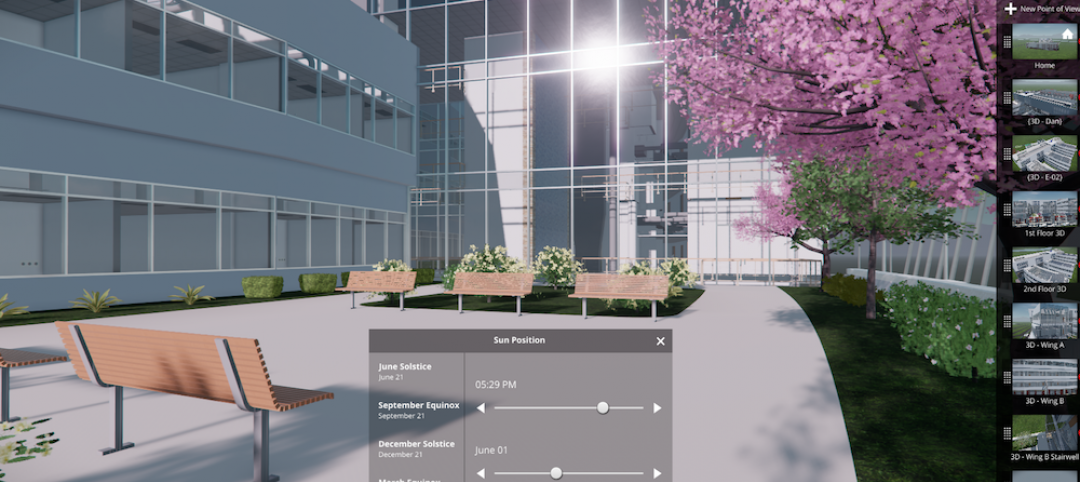
- Product tie-ins are the rage these days. Enscape, which provides visualization software for architects, just released a real-time rendering plug-in for Revit. Early adopters include Kohn Pedersen Fox and Foster+Partners. “What’s important,” says Thomas Schander, Enscape’s CEO, “is that now you don’t need to be a rendering expert to create stunning presentations.”
Related Stories
BIM and Information Technology | Aug 30, 2016
BIM GIANTS: A ranking of the nation's top BIM design and construction firms
HOK, Perkins+Will, Turner Construction Co., The Whiting-Turner Contracting Co., Jacobs, and Thornton Tomasetti top Building Design+Construction’s annual ranking of the nation’s largest BIM AEC firms, as reported in the 2016 Giants 300 Report.
BIM and Information Technology | Aug 30, 2016
New service from CBRE provides deeper insights into in-building wireless network experiences
With dependable cellular and Wi-Fi coverage a must-have amenity for today’s businesses, CBRE to certify in-building network quality through new Cellular Signal Mapping service
BIM and Information Technology | Aug 22, 2016
The wicked problem of interoperability
Building professionals are often put in a situation where solving problems with the ‘best tool for the job’ comes at the cost of not being able to fully leverage data downstream without limitation, writes Proving Ground's Nathan Miller.
Contractors | Aug 10, 2016
Dodge launches new app to simplify pros' search for suitable projects to bid and work on
The product, called PlanRoom, could be particularly useful in sharing data and communications among AEC teams.
BIM and Information Technology | Aug 9, 2016
How to improve a project presentation with animated GIFs
Animated GIFs are a simple tool that can explain a large amount of intricate information in an easy to understand, streamlined manner.
BIM and Information Technology | Jul 25, 2016
Autodesk’s LIVE turns designs into video game-like experiences
Users can adjust navigation points, render styles, and even the time of day, with fluid and quick controls.
Building Tech | Jul 14, 2016
Delegates attending political conventions shouldn’t need to ask ‘Can you hear me now?’
Each venue is equipped with DAS technology that extends the building’s wireless coverage.
BIM and Information Technology | Jun 14, 2016
Autodesk and Trimble will share APIs to develop products that improve user workflow
Data and document management is likely to benefit the soonest.
BIM and Information Technology | Jun 13, 2016
The race to digitize the globe with 3D imagery
Tech firms are creating a highly-detailed virtual planet available instantly for those who would like to scrutinize it. SmithGroupJJR's Stephen Conschafter details the new technologies being used to map our world.
BIM and Information Technology | Jun 7, 2016
Conquer computational design: 5 tips for starting your journey
Data-driven design expert Nathan Miller offers helpful advice for getting your firm ready to use CD tools and concepts.


