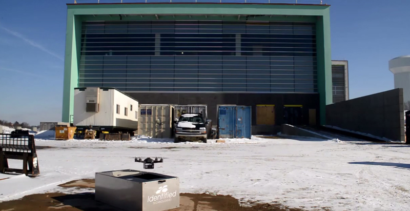
A company called Identified Technologies wants to make mapping a job site an easier task by using drones.
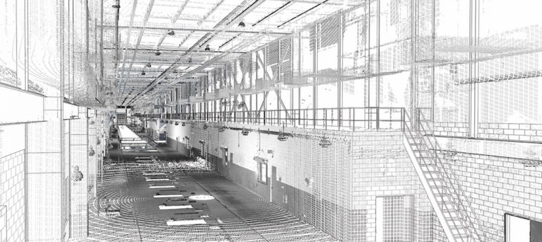
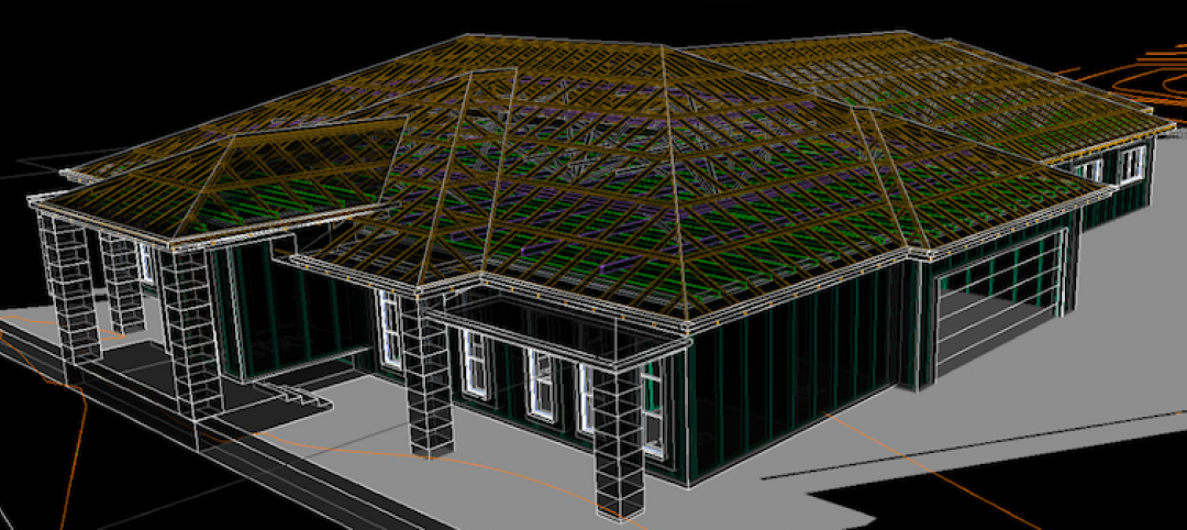
The company’s founder, Dick Zhang, says his product allows project managers, contractors, architects, and anyone else on the Building Team to send a quadcopter around the site and create a topographical map, DIY Drones reports.
The drone is completely autonomous, and batteries can be “hot-swapped” as it maps the area.
A number of contracts have already been made by several projects in Pennsylvania with Identified Technologies. “We have a heavy focus in the Marcellus Shale region, which delivers over 40% of this country’s natural gas. We’ve experienced consistent growth every month. We are forecasting 10-times growth in our deployments and revenue over the course of the year,” Zhang told DIY Drones.
Related Stories
BIM and Information Technology | Mar 13, 2017
Real-time, high-speed scanning – The latest in reality capture
Here are a few new reality capture products and platforms that caught our eye.
BIM and Information Technology | Mar 10, 2017
'Reality modeling' arrives
Advanced reality capture technologies are breaking down the barriers between the job site and project models.
BIM and Information Technology | Feb 6, 2017
BIM for O+M: Less about the model, more about the data
How one Building Team is giving a university client what its facilities staff really wants from BIM: information, please.
Codes and Standards | Jan 13, 2017
New BIM guide for owners released
National Institute of Building Sciences releases a manual for developing standard set of BIM documents.
Designers | Jan 13, 2017
The mind’s eye: Five thoughts on cognitive neuroscience and designing spaces
Measuring how the human mind responds to buildings could improve design.
Architects | Oct 11, 2016
A good imagination and a pile of junk: How maker culture is influencing the way AEC firms solve problems
“Fail” is no longer a dirty four-letter word: for maker culture, it has become a crucial stop along the way
Building Technology | Oct 7, 2016
How much is that LEED point worth? A new tool provides answers
Autocase analyzes the financial, social, and environmental benefits of certification.
Sponsored | BIM and Information Technology | Oct 3, 2016
A laser scanning solution for challenging topographic surveys
DeWalt Corporation, which has completed thousands of surveys over the last 50 years, began using 3D laser scanning technology nearly five years ago.
BIM and Information Technology | Sep 15, 2016
8 tips for perfecting co-location
Experts share tips and tricks for maximizing cross-team collaboration.
BIM and Information Technology | Sep 12, 2016
Draft of 2016 version of the LOD Specification has been released for public comment
The comment period is open until Sept. 23.


