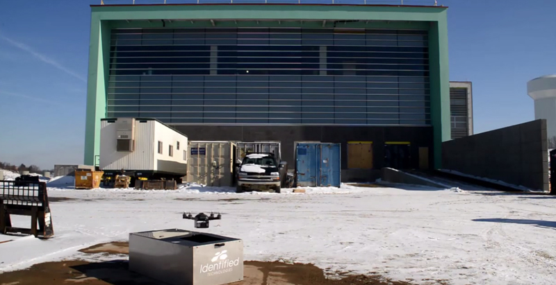
A company called Identified Technologies wants to make mapping a job site an easier task by using drones.
The company’s founder, Dick Zhang, says his product allows project managers, contractors, architects, and anyone else on the Building Team to send a quadcopter around the site and create a topographical map, DIY Drones reports.
The drone is completely autonomous, and batteries can be “hot-swapped” as it maps the area.
A number of contracts have already been made by several projects in Pennsylvania with Identified Technologies. “We have a heavy focus in the Marcellus Shale region, which delivers over 40% of this country’s natural gas. We’ve experienced consistent growth every month. We are forecasting 10-times growth in our deployments and revenue over the course of the year,” Zhang told DIY Drones.
Related Stories
| Oct 14, 2011
BD+C Survey on Building Information Modeling: The Good, the Bad, and the Solutions
In a recent survey conducted by Building Design+Construction, more than 75% of respondents indicated they currently use BIM or plan to use it. Respondents were also asked to comment on their experiences with BIM, what they liked and disliked about BIM, and what BIM-related advice they would give to their peers.
| Oct 12, 2011
BIM Clarification and Codification in a Louisiana Sports Museum
The Louisiana State Sports Hall of Fame celebrates the sporting past, but it took innovative 3D planning and coordination of the future to deliver its contemporary design.
| Oct 5, 2011
GREENBUILD 2011: Johnson Controls announces Panoptix, a new approach to building efficiency
Panoptix combines latest technology, new business model and industry-leading expertise to make building efficiency easier and more accessible to a broader market.
| Oct 5, 2011
GREENBUILD 2011: Software an architectural game changer
Interactive modeling software transforms the designbuild process.
| Sep 12, 2011
Geist opens European branch
The new branch provides the company’s international clients with additional support and services.


