When it comes to the locals and visitors of the world’s major cities, a cellular phone is a staple. With that many people using their phones, a lot of interesting patterns can be observed from analyzing their data and phone usage information.
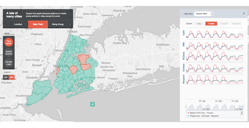
This is what developers at MIT’s SENSEable City Laboratory created together with Ericsson: ManyCities, a new website that “explores the spatio-temporal patterns of mobile phone activity,” ArchDaily reports. The web tool takes complex data and organizes it so that users can easily visualize the patterns of human movement within the city.
A chat board on the right-hand side allows users to post their observations, creating a forum where urban planners, demographers, and anyone else interested can cross-pollinate and find creative ways of using the data.
So far, the cities available on the web tool are London, New York, Hong Kong, and Los Angeles.
Related Stories
AEC Tech | Apr 15, 2016
Should architects learn to code?
Even if learning to code does not personally interest you, the growing demand for having these capabilities in an architectural business cannot be overlooked, writes computational design expert Nathan Miller.
Building Tech | Apr 12, 2016
Should we be worried about a tech slowdown?
Is the U.S. in an innovative funk, or is this just the calm before the storm?
BIM and Information Technology | Apr 8, 2016
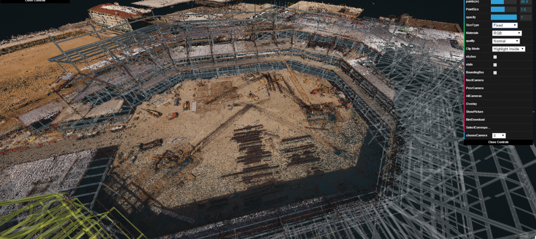
Turner streamlines construction progress tracking using predictive visual data analytics
The construction giant teams with a computer science and engineering professor to develop a clever drone- and rover-based construction monitoring tool.
BIM and Information Technology | Apr 5, 2016
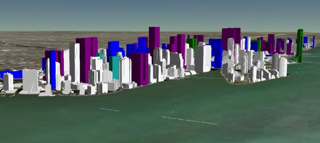
Interactive 3D map shows present and future Miami skyline
The Downtown Miami Interactive 3-D Skyline Map lets users see the status of every downtown office, retail, residential, and hotel project.
AEC Tech | Mar 31, 2016
Deep Learning + AI: How machines are becoming master problem solvers
Besides revolutionary changes to the world’s workforce, artificial intelligence could have a profound impact on the built environment and the AEC industry.
Big Data | Mar 28, 2016
Predictive analytics: How design firms can benefit from using data to find patterns, trends, and relationships
Branden Collingsworth, HDR’s new Director of Predictive Analytics, clarifies what his team does and how architecture projects can benefit from predictive analytics.
BIM and Information Technology | Mar 21, 2016
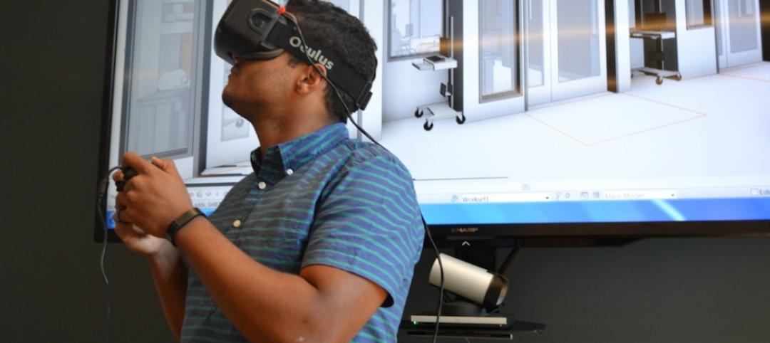
Latest tech devices simplify the leap from BIM to virtual reality
Faster conversion times and higher-quality graphics are enabling VR to make the jump from novelty to necessity in the AEC world.
AEC Tech | Mar 15, 2016
Two to tango: Project Tango isn’t just for entertainment, it also has a wide range of possibilities relating to the professional world
Making things like augmented reality, precise measurements of indoor spaces, and indoor wayfinding possible, Google’s Project Tango has all the makings to become a useful and ubiquitous tool in the AEC market.
BIM and Information Technology | Mar 14, 2016
Visual estimating, generative design, and component construction push the limits of BIM/VDC
DPR Construction, JE Dunn, and The Living advance the AEC industry with three clever tech solutions.
Drones | Mar 9, 2016
A new image-capturing platform mediates drone and cloud technologies
3DRobotics, Autodesk, and Sony launch Site Scan to speed the process of making models from field data.


