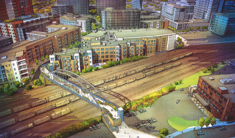
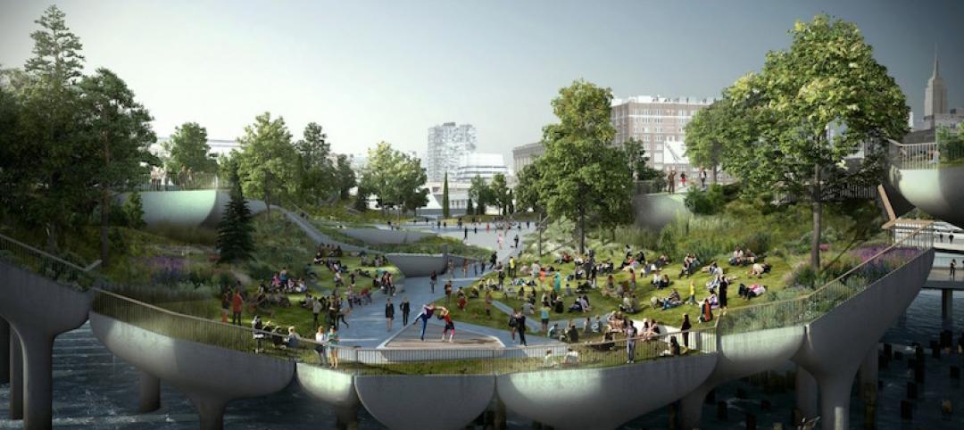
Two of the most popular, up and coming neighborhoods in Nashville, the Gulch and SoBro, are separated by a rail yard, making it difficult for pedestrians to easily get from one neighborhood to the other.
The Gulch is the tip of the spear when it comes to Nashville’s urban rebirth and contains about 1,800 residential units, 50 bars, restaurants, retailers, and entertainment venues, two new 1,500-plus employee office buildings, and a luxury hotel due to open in November. Meanwhile, SoBro is the heart of the Tennessee city’s red-hot real estate market and the location of the Music City Center convention hall. It doesn’t take an urban planner to understand why a more direct link between these two neighborhoods would be beneficial.
And while the city of Nashville has seen the benefits of linking these two neighborhoods, proposing plans for an $18 million pedestrian bridge two years ago, actually getting the plans put into motion has proven difficult.
Former Mayor Karl Dean originally proposed the pedestrian bridge back in September of 2014 with the idea to use property taxes generated by seven Gulch buildings to pay for it, Nashville Business Journal reports. However, the Metro Planning Department still had to buy land or access to build the bridge. Had construction begun in Summer 2015 like city officials thought, the bridge would be opening this fall.
That didn’t happen, but all is not lost, as a newly filed notice with the Metro Planning Department says Metro intends to acquire 1011 Demonbreun St. from the Nashville Metropolitan Transit Authority, a space currently used for parking. The notice, according to Nashville Business Journal, says the acquisition is "relating to construction of a pedestrian bridge spanning the railroad gulch in downtown Nashville."
The original plans proposed back in fall 2014 show the bridge’s Gulch end located behind a 296-unit apartment building. On the SoBro side, the bridge was planned for the intersection of 10th Avenue South and Lea Avenue.
The Metro Planning Commission will consider the newly filed notice on Oct. 27. The completed bridge would be 700 feet long and take on an elongated ‘S’ shape.
Related Stories
Urban Planning | Mar 31, 2017
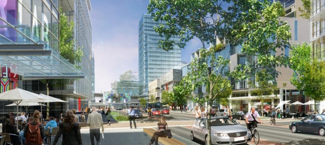
4 important things to consider when designing streets for people, not just cars
For the most part what you see is streets that have been designed with the car in mind—at a large scale for a fast speed.
Urban Planning | Mar 14, 2017
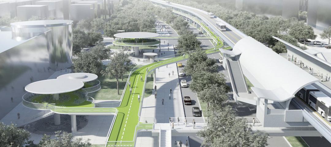
Denmark-based architecture firm gives China the world’s longest elevated bike path
The Xiamen Bicycle Skyway stretches for 7.6 kilometers throughout the central part of the city.
Urban Planning | Feb 9, 2017
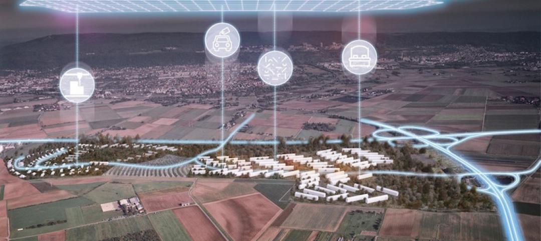
Abandoned WWII-era military village to become 'commune for the 21st century'
The village in Heidelberg, Germany, which 16,000 Americans called home at one time, is being redesigned as a commune for up to 4,000 people.
Green | Feb 6, 2017
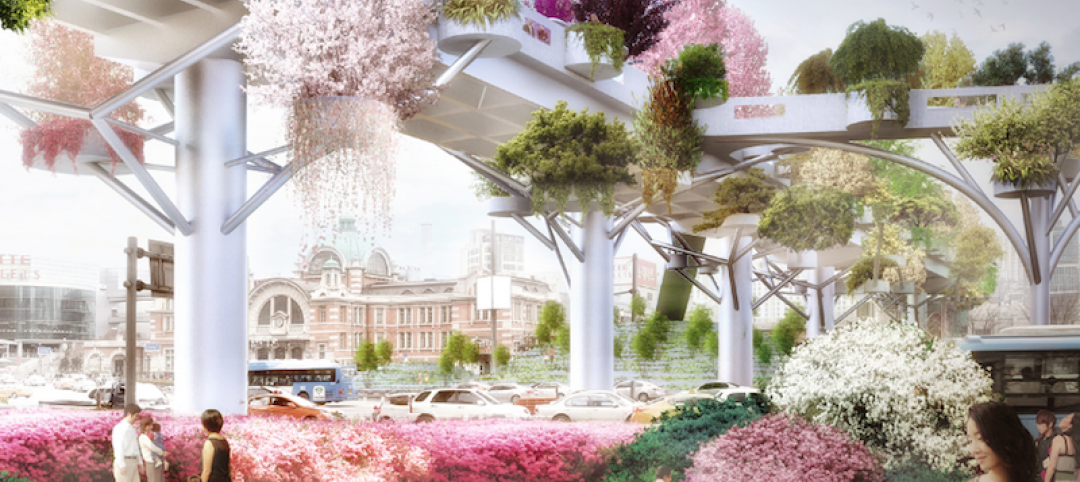
A to Z: Seoul’s elevated park features 24,000 alphabetized plants
The plants will represent 250 species found in South Korea.
Urban Planning | Jan 17, 2017
Using 'hidden data' to probe urban problems
The Center for Neighborhood Technology has been tackling poverty, housing, transportation, and environmental issues for four decades.
Architects | Nov 11, 2016
Six finalists selected for London’s Illuminated River competition
The competition is searching for the best design for lighting the bridges of central London.
Building Tech | Nov 9, 2016
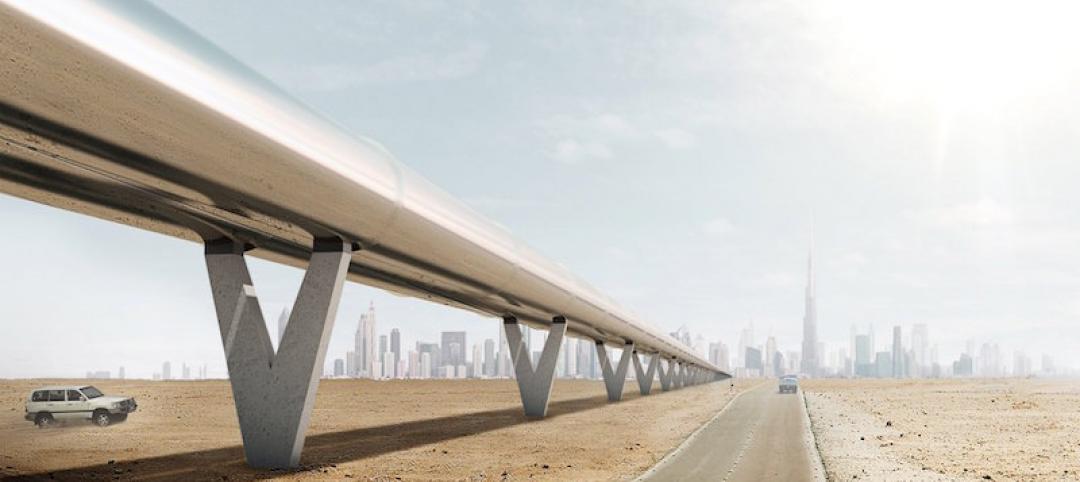
Dubai to Abu Dhabi in 12 minutes: A hyperloop from Hyperloop One and BIG could make it possible
The pods can reach speeds of up to 1,100 kilometers per hour.
Urban Planning | Nov 4, 2016
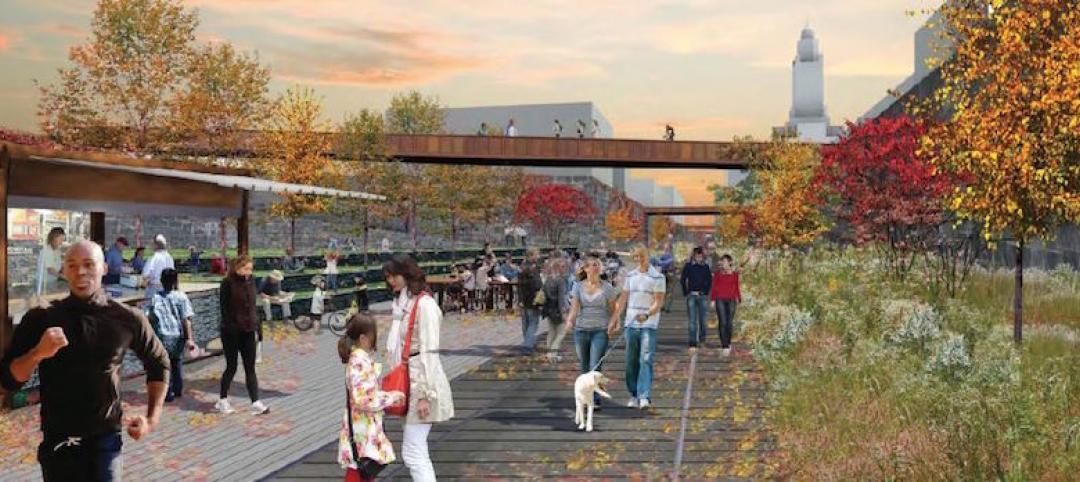
Rail Park breaks ground in Philadelphia
The project is finally moving forward after nine years in the making.
Urban Planning | Oct 27, 2016
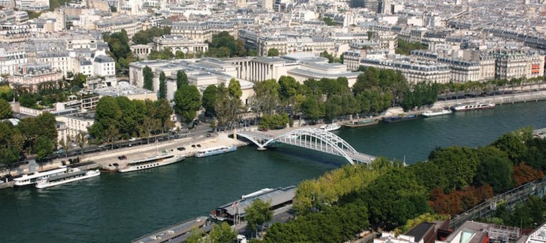
Paris plans to transform the right bank of the river Seine into car-free pedestrian zone
Drivers are worried the move will cause an increase in traffic congestion.
Urban Planning | Oct 27, 2016
The lawsuit blocking the construction of Pier 55 has been thrown out
Construction on the $130 million project can now proceed as planned.


