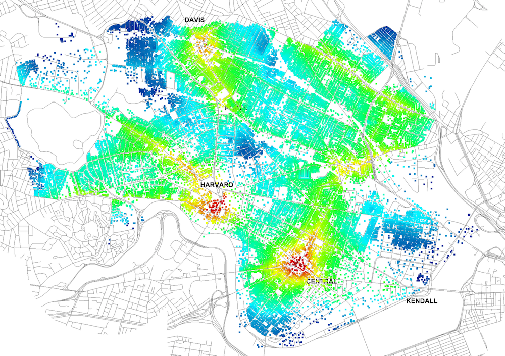
Four years ago, Massachusetts Institute of Technology’s City Form Lab launched Urban Network Analysis (UNA), a city-modeling software that facilitates a mathematical analysis of relationships among elements in a complex system, like a city. The unique feature of UNA is that it incorporates activities within buildings into its analysis.
This toolbox has been popular with planners and geographers, but it requires ArcGIS10 software with an ArcGIS Network Analysis Extension.
In April, City Form Lab expanded this software’s utility by introducing UNA for Rhino 3D, a modeling software for architects, engineers, and designers.
“Our toolbox helps planners and architects analyze these relationships and quantify how intensely different routes are likely to be utilized, how visible or connected public spaces are, or how conveniently one can get from one space to another,” says Andres Sevtsuk, the principal investigator at City Form Lab and developer of the UNA tool.
In layman’s terms, the software predicts where people are likely to go once they’ve decided upon an activity, like, say, going to an ATM machine or a park. The software provides users with some idea about which ATM or park that would be. As for movements to and within buildings, UNA takes into account employee head count, a building’s value, the surrounding population, and so forth.
This app’s toolbox also computes how urban design can affect—or even dictate—pedestrian movement. Sevtsuk notes, too, that the software can be scaled to account for the diversity of movement in different cities and towns.
Sevtsuk is encouraged by the sheer amount of spatial data available about urban areas, particularly in the U.S., where “you can go to any sizable city website and download data that is necessary to calibrate any of these models.” He’s confident that this software can be used to predict movement in public or semi-public spaces such as building lobbies or shopping centers.
Related Stories
| Jul 11, 2014
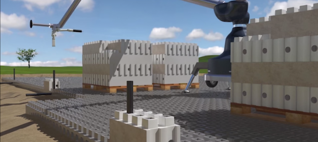
Are these LEGO-like blocks the future of construction?
Kite Bricks proposes a more efficient way of building with its newly developed Smart Bricks system.
| Jul 1, 2014
Hyper-speed rendering: How Gensler turns BIM models into beauty shots in seconds
In search of a fast rendering solution, Gensler looked to the gaming and moviemaking industries for the next breakthrough tool: Octane Render.
| Jul 1, 2014
Sochi's 'kinetic façade' may steal the show at the Winter Olympics
The temporary pavilion for Russian telecom operator MegaFon will be wrapped with a massive digital "pin screen" that will morph into the shape of any face.
| Jul 1, 2014
7 ways to cut waste in BIM implementation
Process mapping, split models, and streamlined coordination meetings are among the timesaving techniques AEC firms are employing to improve BIM/VDC workflows.
| Jun 30, 2014
Autodesk acquires design studio The Living, will create Autodesk Studio
The Living, David Benjamin's design studio, has been acquired by Autodesk. Combined, the two will create the Autodesk Studio, which will "create new types of buildings, public installations, prototypes and architectural environments."
| Jun 30, 2014
Report recommends making infrastructure upgrades a cabinet-level priority
The ASCE estimates that $3.6 trillion must be invested by 2020 to make critically needed upgrades and expansions of national infrastructure—and avoid trillions of dollars in lost business sales, exports, disposable income, and GDP.
| Jun 25, 2014
Taking a page from Lean manufacturing for improved design review processes
SPONSORED CONTENT As more building project teams look for ways to collaborate better, technology continues to provide solutions. Yet, as I learned from the experience of one of my customers, choosing the wrong technology can have an underwhelming effect, causing a team to simply swap out old challenges for new ones.
| Jun 18, 2014
Arup uses 3D printing to fabricate one-of-a-kind structural steel components
The firm's research shows that 3D printing has the potential to reduce costs, cut waste, and slash the carbon footprint of the construction sector.
| Jun 10, 2014
Site optimization: Paving the way for smoother land development projects
The biggest cost differential when dealing in site development from one site to another is the earthwork. So, when selecting a site, it is critical to not only take into account the initial purchase price of the property, but also what sort of investment it will take to prep the site for development.
Smart Buildings | Jun 8, 2014
Big Data: How one city took control of its facility assets with data
Over the past few years, Buffalo has developed a cutting-edge facility management program to ensure it's utilizing its facilities and operations as efficiently, effectively, and sustainably as possible.


