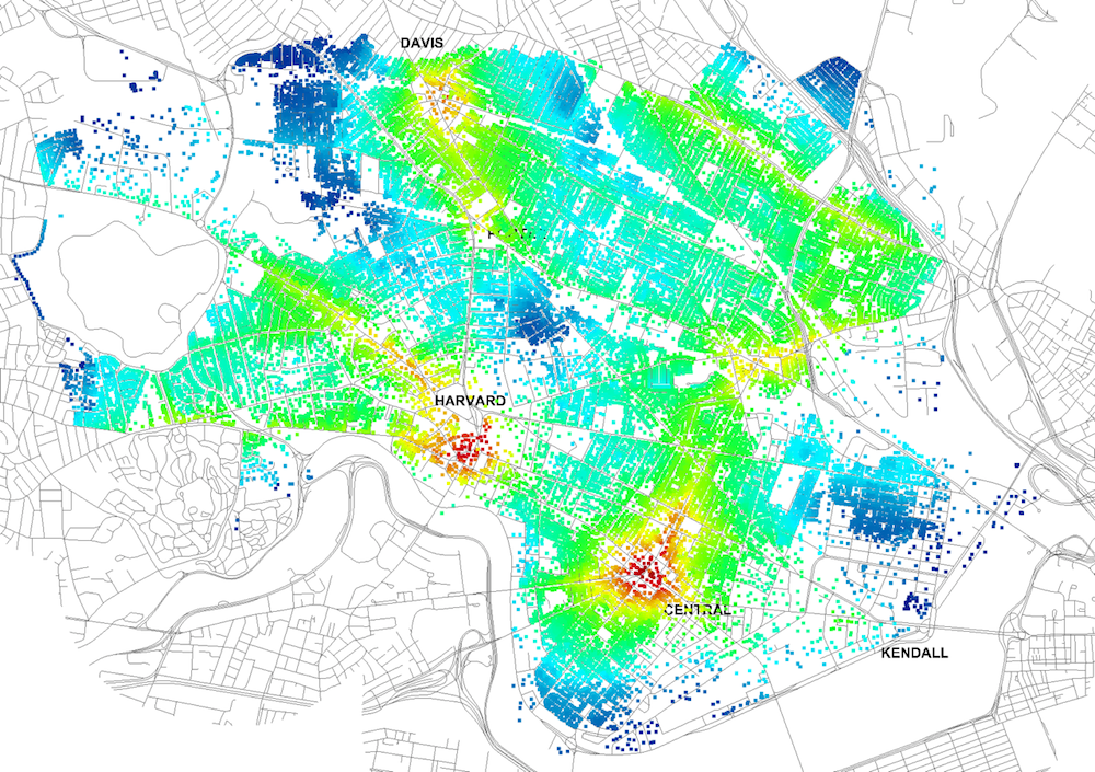
Four years ago, Massachusetts Institute of Technology’s City Form Lab launched Urban Network Analysis (UNA), a city-modeling software that facilitates a mathematical analysis of relationships among elements in a complex system, like a city. The unique feature of UNA is that it incorporates activities within buildings into its analysis.
This toolbox has been popular with planners and geographers, but it requires ArcGIS10 software with an ArcGIS Network Analysis Extension.
In April, City Form Lab expanded this software’s utility by introducing UNA for Rhino 3D, a modeling software for architects, engineers, and designers.
“Our toolbox helps planners and architects analyze these relationships and quantify how intensely different routes are likely to be utilized, how visible or connected public spaces are, or how conveniently one can get from one space to another,” says Andres Sevtsuk, the principal investigator at City Form Lab and developer of the UNA tool.
In layman’s terms, the software predicts where people are likely to go once they’ve decided upon an activity, like, say, going to an ATM machine or a park. The software provides users with some idea about which ATM or park that would be. As for movements to and within buildings, UNA takes into account employee head count, a building’s value, the surrounding population, and so forth.
This app’s toolbox also computes how urban design can affect—or even dictate—pedestrian movement. Sevtsuk notes, too, that the software can be scaled to account for the diversity of movement in different cities and towns.
Sevtsuk is encouraged by the sheer amount of spatial data available about urban areas, particularly in the U.S., where “you can go to any sizable city website and download data that is necessary to calibrate any of these models.” He’s confident that this software can be used to predict movement in public or semi-public spaces such as building lobbies or shopping centers.
Related Stories
| Mar 10, 2014
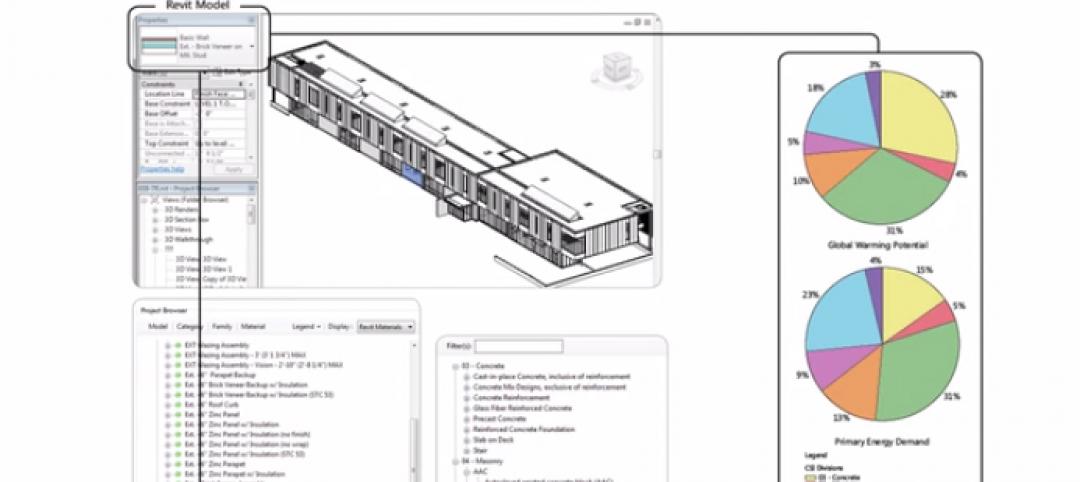
Meet Tally – the Revit app that calculates the environmental impact of building materials
Tally provides AEC professionals with insight into how materials-related decisions made during design influence a building’s overall ecological footprint.
| Mar 10, 2014
Field tested: Caterpillar’s Cat B15 rugged smartphone
The B15 is billed by Cat as “the most progressive, durable and rugged device available on the market today.”
| Mar 10, 2014
5 rugged mobile devices geared for construction pros
BD+C readers share their most trusted smartphone and tablet cases. The editors select some of their faves, too.
Sponsored | | Mar 6, 2014
Rombald Inc. improves profits by customizing reports and managing multiple projects
By replacing spreadsheets with BillQuick, this growing consulting firm has greater visibility into its project financials.
| Mar 6, 2014
Must see: Tour Seinfeld's apartment with virtual reality headset
Fans of the show can now explore a virtual 3D model of the iconic New York residence, thanks to one Web designer's painstaking effort.
| Feb 27, 2014
3 reasons to apply computational fluid dynamics on your next project
From right-sizing mechanical systems to understanding the impact of design alternatives, CFD offers a host of benefits for the Building Team.
| Feb 27, 2014
Bluebeam Software launches Revu 12 for better field-ready document management and project collaboration
The latest version of the company’s flagship solution better enables users in document-intensive industries to digitally collaborate on project documents and more easily connect the office to the field.
| Feb 27, 2014
PocketCake lunches CPU designed for virtual reality simulations
The company's Virtual Reality Simulation Converter Assembly is three times more powerful than the average high-performance computer and allows for up to eight people to experience a virtual reality simulation at the same time.
| Feb 26, 2014
Use this app to streamline safety inspections
Using the iAuditor app, one of our Skanska teams developed electronic reports that make safety inspections more efficient, and that make it easier to address any issues emerging from them.
| Feb 26, 2014
Startup PocketCake aims to bring virtual reality simulations to the AEC masses
Founded in 2012, the development firm offers custom virtual reality simulations for the price of a typical architectural illustration.


