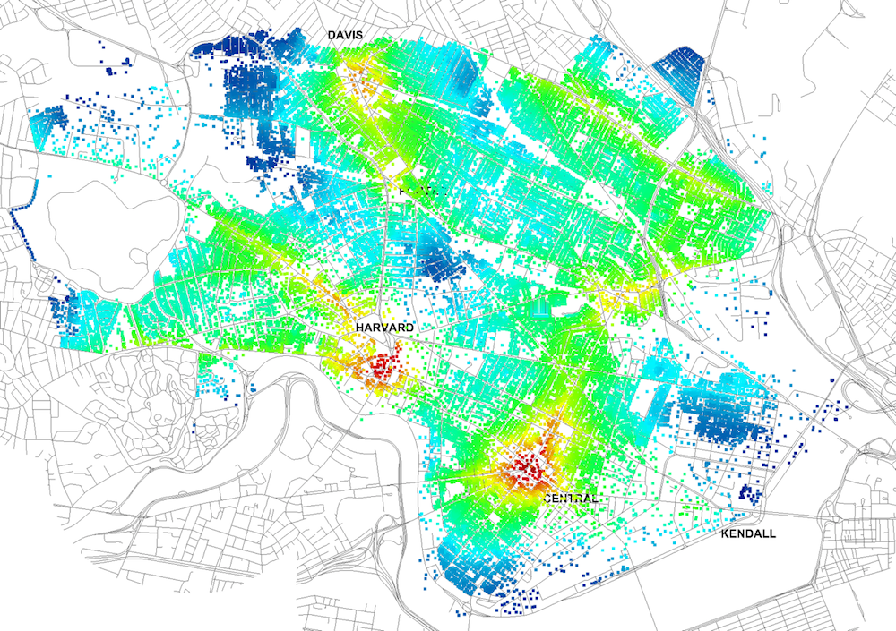
Four years ago, Massachusetts Institute of Technology’s City Form Lab launched Urban Network Analysis (UNA), a city-modeling software that facilitates a mathematical analysis of relationships among elements in a complex system, like a city. The unique feature of UNA is that it incorporates activities within buildings into its analysis.
This toolbox has been popular with planners and geographers, but it requires ArcGIS10 software with an ArcGIS Network Analysis Extension.
In April, City Form Lab expanded this software’s utility by introducing UNA for Rhino 3D, a modeling software for architects, engineers, and designers.
“Our toolbox helps planners and architects analyze these relationships and quantify how intensely different routes are likely to be utilized, how visible or connected public spaces are, or how conveniently one can get from one space to another,” says Andres Sevtsuk, the principal investigator at City Form Lab and developer of the UNA tool.
In layman’s terms, the software predicts where people are likely to go once they’ve decided upon an activity, like, say, going to an ATM machine or a park. The software provides users with some idea about which ATM or park that would be. As for movements to and within buildings, UNA takes into account employee head count, a building’s value, the surrounding population, and so forth.
This app’s toolbox also computes how urban design can affect—or even dictate—pedestrian movement. Sevtsuk notes, too, that the software can be scaled to account for the diversity of movement in different cities and towns.
Sevtsuk is encouraged by the sheer amount of spatial data available about urban areas, particularly in the U.S., where “you can go to any sizable city website and download data that is necessary to calibrate any of these models.” He’s confident that this software can be used to predict movement in public or semi-public spaces such as building lobbies or shopping centers.
Related Stories
BIM and Information Technology | Jun 5, 2015
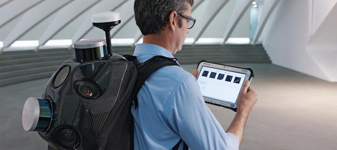
Backpack becomes industry first in wearable reality capture
Combining five high-dynamic cameras and a LiDAR profiler, Leica's Pegasus:Backpack creates a 3D view indoors or outdoors for engineering or professional documentation creation.
BIM and Information Technology | Jun 4, 2015
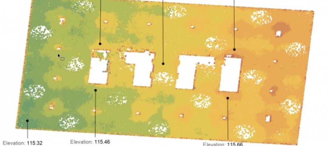
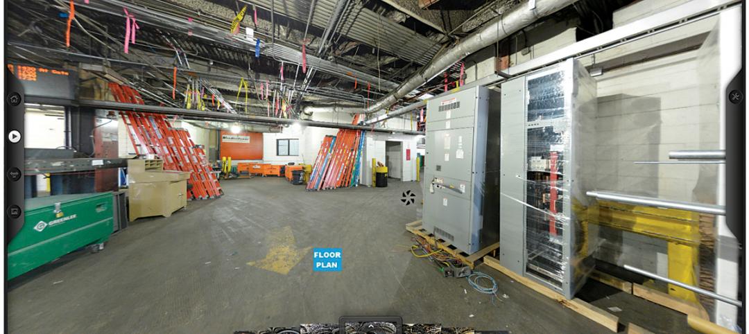
Why reality capture is essential for retrofits
Although we rely upon as-built drawings to help us understand the site for our design, their support is as thin as the paper they are printed on, write CASE's Matthew Nelson and Carrie Schulz.
BIM and Information Technology | Jun 3, 2015
More accurate GPS ready to change the way we shop, interact, and explore
New technology reduces location errors from the size of a car to the size of a nickel—a 100 times increase in accuracy. This is a major technological breakthrough that will affect how we interact with environments, the places we shop, and entertainment venues.
Sponsored | BIM and Information Technology | May 28, 2015
Does BIM Work as a Deliverable?
Sasha Reed sits down with industry professionals at the BIMForum in San Diego to talk about BIM technology.
BIM and Information Technology | May 27, 2015
4 projects honored with AIA TAP Innovation Awards for excellence in BIM and project delivery
Morphosis Architects' Emerson College building in Los Angeles and the University of Delaware’s ISE Lab are among the projects honored by AIA for their use of BIM/VDC tools.
BIM and Information Technology | May 26, 2015
Lego-like model building kit was created by an architect for architects
Arckit, as the system is called, was designed to a 1:48 scale, making it easy to create models accurate to the real-life, physical building projected.
BIM and Information Technology | May 26, 2015
Moore's Law and the future of urban design
SmithGroupJJR's Stephen Conschafter, urban designer and planner, discusses his thoughts on the 50th anniversary of Moore's Law and how technology is transforming urban design.
BIM and Information Technology | May 21, 2015
How AEC firms should approach BIM training
CASE Founding Partner Steve Sanderson talks about the current state of software training in the AEC industry and common pitfalls in AEC training.
BIM and Information Technology | May 13, 2015
5 smart tech trends transforming the job site
RFID labor tracking, 360 cameras, and advanced video tools are among the tech innovations that show promise for the commercial construction industry.
BIM and Information Technology | May 10, 2015
How beacons will change architecture
Indoor positioning is right around the corner. Here is why it matters.


